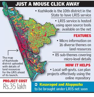
 According to recent news by The Hindu, Kerala State Land Use Board (KSLUB) has launched Geographical Information System-based Land Resources Information System (LRIS).
A 20-member team of the KSLUB has come out with the much-awaited online service for the district after a painstaking research and data collection that lasted for more than one-and-a-half years.
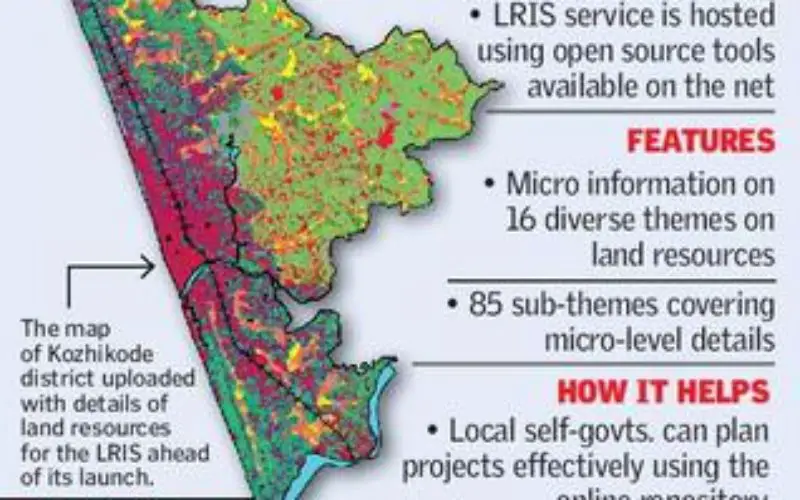
The LRIS, which will be inaugurated by Minister for Excise and Labour T.P. Ramakrishnan on Saturday, features the complete geospatial details of the district with precise information on land, road network, and water resources, integrated with georeferenced cadastral database. Kozhikode is the 10th district in the State to have the unique LRIS service, which is hosted using open source tools available free of cost for the reference of all who can access the Internet.
KSLUB Commissioner A. Nizamuddin told The Hindu here on Friday that the LRIS, packed with micro information on 16 diverse themes on land resources and around 85 sub-themes covering micro-level details, would be an authentic and accurate online repository for various local self-government departments to plan their projects more effectively.
It also enables users to get a printout of the required data for further reference, he added.
As part of the State-wide project, two more districts — Kasaragod and Alappuzha — will be brought under the LRIS net shortly.
Officials confirmed that the project would be completed across the State covering the other two remaining districts — Malappuram and Pathanamthitta — by the end of 2016.


