Maxar Intelligence Releases First Images from Its Next-Generation WorldView Legion Satellites
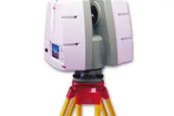
Maxar Intelligence, a provider of secure, precise geospatial intelligence, has released the first images from its next-generation WorldView Legion satellites, the first two of which were launched from Vandenberg Space Force Base, California, on May 2, 2024.
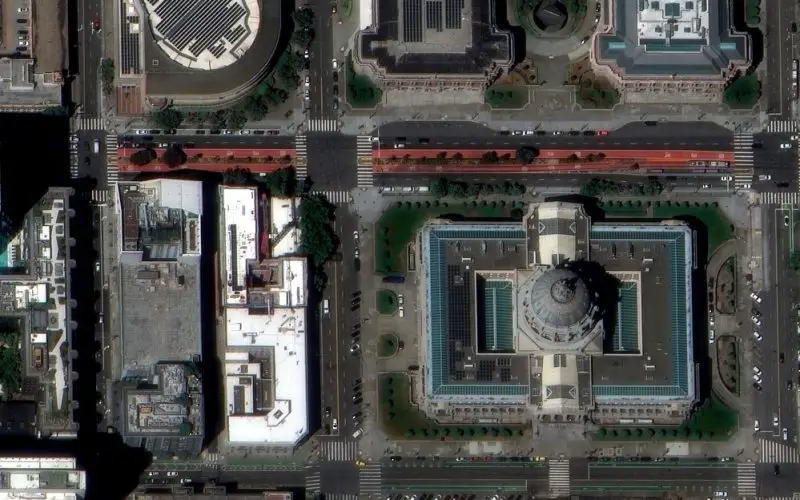
The high-resolution, 30 cm-class images were collected on July 16, 2024, by one of Maxar’s WorldView Legion satellites on orbit and demonstrate the exceptional capabilities of this state-of-the-art technology. They include detailed images of key urban areas, transportation routes and logistics hubs in San Francisco and Sacramento, California, underscoring the value of high-resolution satellite imagery for precision mapping, site monitoring, geospatial analytics and other important use cases.

“In today’s increasingly complex world, our customers need access to faster, more timely geospatial insights to support their most critical missions—from precision mapping to site monitoring to space domain awareness,” said Dan Smoot, CEO of Maxar Intelligence. “Soon, our WorldView Legion satellites will be collecting vast amounts of imagery, extending our collection capacity advantage for high-resolution imagery and enhancing the revisit rate of our industry-leading constellation. This added capacity will also strengthen our geospatial foundation, helping us build more sophisticated products that unlock the full potential of geospatial data and generate more actionable insights in 2D and 3D.”
These two satellites are part of a block of six WorldView Legion satellites. Once on orbit, the six satellites will triple Maxar’s capacity to collect 30 cm-class imagery, enable dawn-to-dusk collection and allow Maxar to image the most rapidly changing areas on Earth as frequently as every 20 to 30 minutes.
The vast amount of high-resolution imagery collected by these satellites will also enable the company to continue building leading-edge products that deliver faster mission-critical insights:
- The capacity increase will fuel the company’s innovation, providing more near-real time data that allows Maxar to deliver software products that leverage modern artificial intelligence and machine learning technologies to extract faster insights from geospatial data.
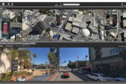
- The significant increase in high-resolution capacity will further improve the currency and quality of the company’s 2D and 3D data products.
- Customers using Maxar’s tasking products will have more opportunities to collect imagery of areas of interest throughout the day.
Maxar continues to progress through the commissioning and calibration process for the first two WorldView Legion satellites and expects both satellites to be supporting customer missions soon. Maxar expects to launch all six WorldView Legion satellites by the end of 2024.

Learn more about our WorldView Legion satellites and how they enhance the capabilities of Maxar’s Earth imaging constellation here: https://www.maxar.com/worldview-legion
About Maxar Intelligence
Maxar Intelligence is a provider of secure, precise, geospatial intelligence. We deliver disruptive value to government and commercial customers to help them monitor, understand and navigate our changing planet. Our unique approach combines decades of deep mission understanding and a proven commercial and defense foundation to deploy solutions and deliver insights with unrivaled speed, scale and cost-effectiveness. For more information, visit www.maxar.com.
Contacts
Tomi Maxted
Maxar Media Relations
Tomi.Maxted@maxar.com