RedTail Delivers LiDAR System to DoD’s Explosive Ordnance Disposal Community
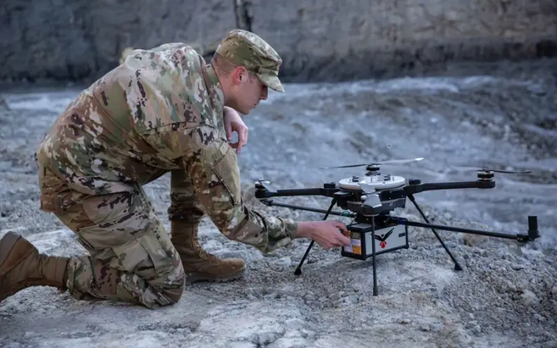
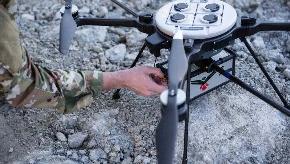
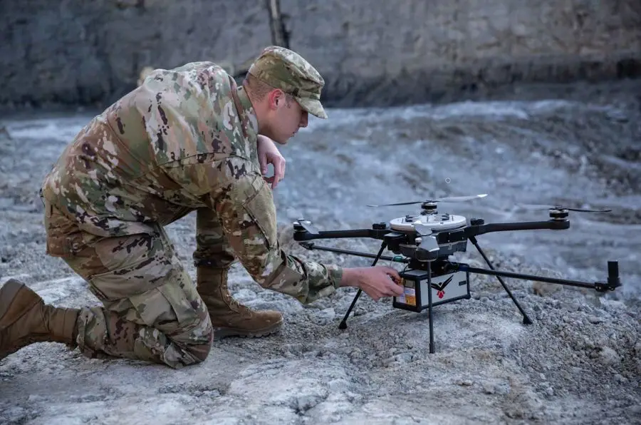
RedTail LiDAR Systems, a leader in microelectromechanical systems (MEMS) mirror-based light detection and ranging (LiDAR) technology, has delivered six LiDAR systems to the 707th Ordnance Company stationed at Joint Base Lewis-McChord. These systems will provide Explosive Ordnance Disposal (EOD) technicians an opportunity to assess how LiDAR can be used to enhance their operations.
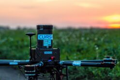
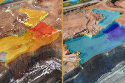
The RedTail LiDAR Systems RTL-450 was integrated onto the Teledyne FLIR SkyRaider Unmanned Aerial System (UAS) to address a broad range of the EOD community’s 3D mapping needs. Captain William R. Hartman, the commander of the 707th EOD Company, stated that the highlight of the testing was using the LiDAR system to map terrain. In addition to terrain mapping, the RTL-450 can be used to calculate crater volumes from improvised explosive device (IED) blasts, perform route planning for unmanned ground vehicles, aid in mission planning, and conduct surveillance. The 3D maps generated – commonly referred to as point clouds – allow operating areas to be viewed from any perspective using the rotation and zoom capabilities provided within the viewer software.
The underlying LiDAR technology used in the RTL-450 was licensed from the Army Research Laboratory (ARL). The MEMS mirror-based design provides enhanced 3D imagery due to the fact that the laser pulses are steered to the ground in a very well-defined and controlled scan pattern. The LiDAR technology is ideal for applications where Artificial Intelligence and Machine Learning (AI/ML) algorithms can be used for target detection and classification due to the high point density of the point clouds.
The system can operate in either a raster scan mode for surveillance missions or a side-to-side line scan mode for area mapping while the UAS is flying. The intuitive command and control, high-brightness display integrated into the ground control station (GCS), and real time 3D map generation allows operators to begin mission planning and analysis even before the mapping or surveillance missions are completed.
Delivering these six LiDAR systems to EOD technicians for test and evaluation is a significant step forward in using MEMS mirror-based LiDAR technology to address a broad range of Department of Defense 3D mapping needs. In addition, this delivery represents a true success story in transitioning a technology out of a Department of Defense laboratory and back into the hands of military operators
Brad DeRoos, President and CEO of RedTail LiDAR Systems
About RedTail LiDAR Systems
RedTail LiDAR Systems is a company division of 4D Tech Solutions, Inc. RedTail has become a global leader in the development and delivery of long-range MEMs mirror LiDAR sensors. Design, integration and product delivery have been performed for numerous commercial applications as well as government-funded efforts for the U.S. Army, Navy, and Department of Homeland Security.
4D’s exclusive licenses from the Army Research Laboratory for the MEMS mirror-based LiDAR technology cover all manned and unmanned vehicle applications as well as surveillance. 4D is actively expanding its capabilities and product portfolio through a U.S. Navy funded effort that will transition the technology to underwater vehicles such as unmanned undersea vehicles (UUVs) and Remotely Operated Vehicles (ROVs), and an internally funded effort to develop a long-range imaging product for unmanned ground vehicle (UGV) applications. 4D’s ability to rapidly customize the performance to suit specific application requirements for government customers sets the company apart in the world of LiDAR product providers.
4D Tech Solutions is a research and development (R&D) and manufacturing company that works with commercial and government customers to develop advanced, technology-based solutions to challenging problems. 4D is a Service-Disabled Veteran-Owned small business and SBA-certified HUBZone small business.
For more information, visit our:
Website: www.redtaillidar.com
Facebook: https://www.facebook.com/RedTailLiDAR/