
Tag "3D Forest Mapping"
Featured Article
LiDAR
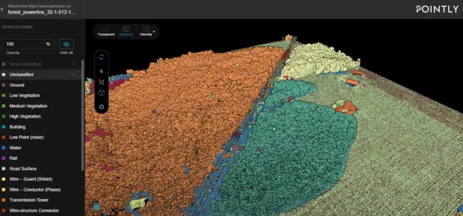
Automated Point Cloud Analysis for Forestry Mapping
Pointly has developed AI solution, that takes point clouds as input and outputs a shapefile with the location of tress for forestry mapping.
Business
3D Measurements of Forest Areas
A tangle of treetops and branches, through which just the occasional clear area provides glimpses of the trunks and roots growing below. Whether it is woodland with German spruces or
