
Tag "Amazon"
Business
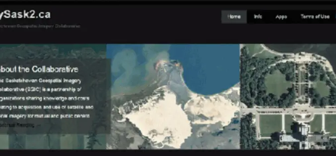
CubeWerx Signs Multi-year Contract to Provide Managed Imagery Services to SGIC
Gatineau, QC, Canada, November 13, 2018 – CubeWerx announced today it has signed a four-year contract to provide managed imagery services to the Saskatchewan Geospatial Imagery Collaborative (SGIC). CubeWerx successfully completed porting

GIS
Download Free Landsat 8 Imagery from the Amazon Web Services Cloud
Amazon has announced the availability of Landsat on Amazon Web Services. Under this program, Amazon will host 1 petabyte of Landsat imagery from USGS on the Amazon Web Services Cloud. You
GIS
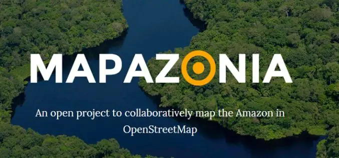
MAPAZONIA – A Crowdsourced Project to Map the Amazon
The Amazon rainforest also known in English as Amazonia or the Amazon Jungle covers most of the Amazon Basin of South America. This region includes territory belonging to nine countries: Brazil, Bolivia, peru, Ecuadoe, Colombia, Venezuela, Guyana, and
