
Tag "digital surface models"
SimActive Launches Subscription UAV Software
SimActive Inc., a world-leading developer of photogrammetry software, is pleased to announce a new subscription-based offering for Correlator3D™ UAV. The rental option allows users with a dynamic workload to access

FOSS4G NA 2016: Open Source Photogrammetry with OpenDroneMap
OpenDroneMap (ODM) aims to be a full photogrammetric solution for small Unmanned Aircraft (drones), balloons, and kites. ODM acts as a tool for processing highly overlapping unreferenced imagery, turning the

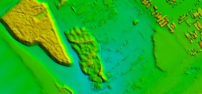
Open Source Software for Bulk LiDAR Data Processing Released
Developed for Forest Carbon Monitoring to Support Reducing Emissions from Deforestation and Forest Degradation (REDD+) in Kalimantan, Indonesia; Now Available for Public Use. For this project, Applied GeoSolutions and the

3D Urban Modeling using Geomatica, CityEngine and 3D FeatureXtract
3D Urban Modeling using Geomatica, CityEngine and 3D FeatureXtract On-demand webinar: If you have access to high resolution stereo imagery over your area of interest, you can easily model 3D
