
Archive
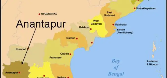
Arial Survey and Remote Sensing Technology helps in Exploration of Diamonds in Anantpur
In recent news, experts from National Mineral Development Corporation (CNMCD) and National Geophysical Research Institute (NGRI) have found another kimberlite pipe, possibly diamond bearing. Arial surveys of the region, along
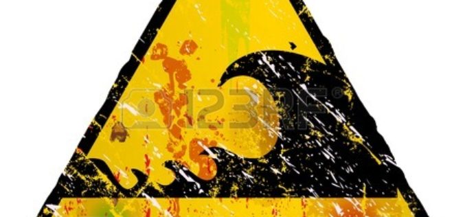
3D Mapping of Coastal Areas as a part of Tsunami Warning System
India is taking up 3D mapping of coastal areas as part of its efforts to further improve the tsunami early warning system. On the 10th anniversary of the

UN Office Report Shows Opportunities for Remote Sensing in Humanitarian Assistance
The Policy Analysis and Innovation Section of the UN Office for Coordination of Humanitarian Affairs (OCHA) released the World Humanitarian data and Trends 2014 report, dealing with humanitarian
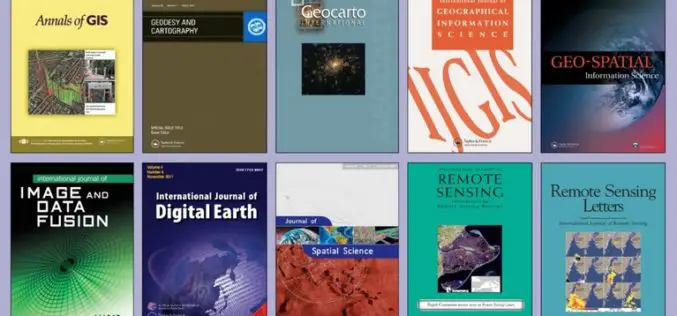
FREE Access to the Leading GIS & Remote Sensing Journals
Taylor & Francis Group partners with researchers, scholarly societies, universities and libraries worldwide to bring knowledge to life. As one of the world’s leading publishers of scholarly journals,
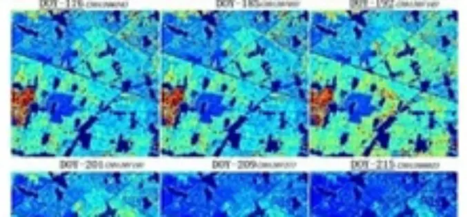
Retrieval of a Temporal High-Resolution Leaf Area Index (LAI) by Combining MODIS LAI and ASTER Reflectance Data
Retrieval of a Temporal High-Resolution Leaf Area Index (LAI) by Combining MODIS LAI and ASTER Reflectance Data – Yonghua Qu , Wenchao Han and Mingguo Ma Abstract: This paper
Comparing Machine Learning Classifiers for Object-Based Land Cover Classification Using Very High Resolution Imagery
Comparing Machine Learning Classifiers for Object-Based Land Cover Classification Using Very High Resolution Imagery – Yuguo Qian, Weiqi Zhou , Jingli Yan, Weifeng Li and Lijian Han Abstract: This

Russia’s Glonass an alternative to the Brazilians for GPS
In recent news by Sputnik, the Russian Global Navigation Satellite System (Glonass) will provide Brazilians with an alternative to the American Global Positioning System (GPS), giving them more localized data and stability, the

Webinar: Unmanned Aerial Systems for Mapping
Webinar: Unmanned Aerial Systems for Mapping January 15, 2015: 10:00 am to 11:00 am Unmanned Aerial Systems (UAS) or drones have garnered a lot of headlines recently. The term “drone”

MUSA Earth Day Lecture: “Remote Sensing and Geospatial Tech for Sustainable Urbanization”
MUSA Earth Day Lecture: “Remote Sensing and Geospatial Tech for Sustainable Urbanization” April 22, 2015, 5:30 PM – 7:00 PM / Meyerson Hall, Lower Gallery Penn Institute of Urban Research Penn
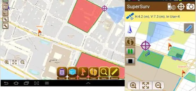
SuperSurv 3.2 Release Advanced GPS Support and Data Collection Functions
Developed by Supergeo, the latest version of SuperSurv (Android) 3.2 is upgraded with stronger data collecting function by GPS and more precise and easy-to-use GPS manipulation interface, bringing
