
Tag "Environmental"

Webinars
Take a Walk on the Wild Side: Environmental Surveying and TerraGo Edge
Take a Walk on the Wild Side: Environmental Surveying and TerraGo Edge May 19, 2015 12:00 – 12:30 PM ET Environmental field surveys provide valuable insights into our world’s most
GIS
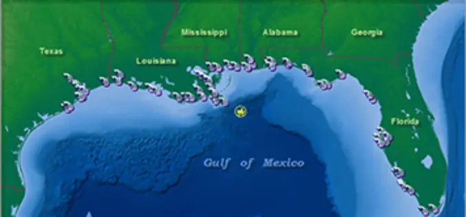
NOAA’s Online Mapping Tool ERMA Opens up Data to the Public
NOAA’s Environmental Response Management Application (ERMA) is a web-based mapping application that pulls in and displays both static and real-time data, such as ship locations, weather, and ocean currents. ERMA enables
