
Tag "Geomorphology"
Remote Sensing
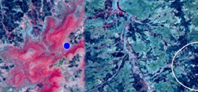
Identification of Artificial Recharge Sites Using Remote Sensing Technology
Identification of Artificial Recharge Sites Using Remote Sensing Technology Groundwater is a major source for all purposes of water requirements in India. More than 90% of rural and nearly 30%
GIS
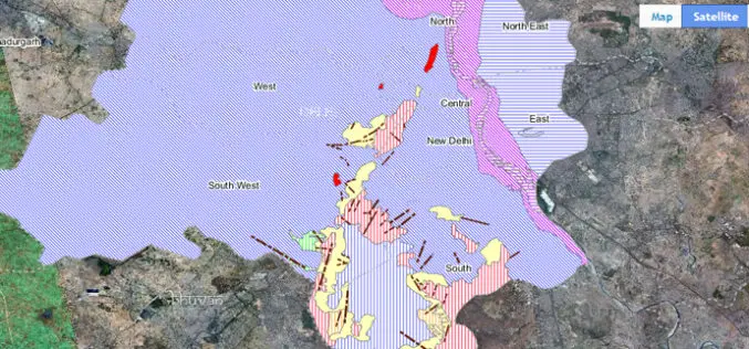
Bhuvan Bhujal Portal – Ground Water Prospects Information System
The National Remote Sensing and Application Centre (NRSC), India has recently launched a web application “Bhujal Portal”. Bhujal is sponsored project by Department of Drinking Water and Sanitation, Ministry of Drinking
GIS
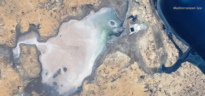
Remote Sensing and GIS to Study Geomorphology of Al Batinah
In recent news, researchers are using GIS and remote sensing technology to examine the Sabkhas and tidal inlets in Al Batinah plain. Sabkha is a transliteration of the Arabic word for a salt flat. Sabkhas are supratidal,
