
Tag "GIS for Flood Disaster Mitigation"
Featured Article
GIS
Keeping Up with the Times: Applying GIS Tools for Flood Disaster Mitigation
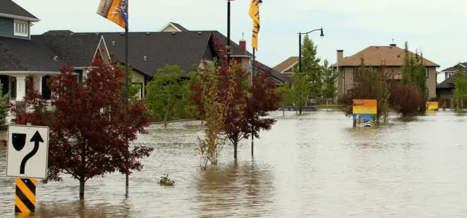
GIS is a powerful resource as it is accessible, free, and relevant for multiple stakeholders. Anyone can use GIS software to develop flood disaster mitigation strategies and avoid high-cost, flood-related damages on their property.
