
Tag "Global Mapper"

Global Mapper LiDAR Module v18.2 Now Features Hydro-Flattening Capability
Blue Marble Geographics has recently announced the release of Global Mapper version 18.2, the latest edition of the Module includes support for hydro-flattening from 3D lines or polygons when creating
Spanish Language Version of Global Mapper Now Available
Hallowell, Maine – June 19, 2017 – Blue Marble Geographics (www.bluemarblegeo.com) is pleased to announce that a Spanish language version of Global Mapper is now available. Developed in partnership with the company’s certified
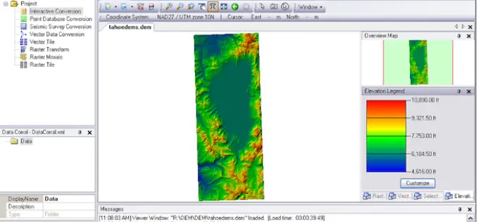
Global Mapper 18.2 Released with New 3D Digitizing Functionality and Support for Connecting to Amazon Web Services
Hallowell, Maine – May 30, 2017 – Blue Marble Geographics (www.bluemarblegeo.com) is pleased to announce the immediate availability of Global Mapper version 18.2. This latest upgrade to the version 18

Global Mapper Mobile Now Available for Android Devices
Blue Marble Geographics is pleased to announce the immediate availability of a beta release of the Android version of its Global Mapper Mobile app. Mirroring the capabilities of the iOS
Global Mapper and Geographic Calculator Free Academic License Program is Now Live
Hallowell, Maine – May 2, 2017 – Blue Marble Geographics (www.bluemarblegeo.com) is pleased to announce the launch of its new academic licensing program with a new web page now available
Blue Marble Releases Geographic Calculator 2017 with New Quality Control Tool for Seismic Survey Data
Hallowell, Maine – April 18, 2017 – Blue Marble Geographics (bluemarblegeo.com) is pleased to announce the immediate availability of Geographic Calculator 2017. This major version release introduces a new job

Blue Marble Offers Free Access to Global Mapper and Geographic Calculator at Higher Education Schools in the U.S. and Canada
Hallowell, Maine – April 4, 2017 – Blue Marble Geographics (bluemarblegeo.com) is pleased to announce that institutes of higher education in the U.S. and Canada will shortly be granted free
Blue Marble Adds Flat Earth Support to Geographic Calculator
Hallowell, Maine – April 1, 2017 – As an acknowledgment of the diversity of opinions that have recently been expressed about the shape and structure of the earth, Blue Marble
Global Mapper 18.1 Now Available with Improved 3D Viewing, New Fly-Through Visualization Options, and LIDAR QC Tools
Blue Marble Geographics is pleased to announce the immediate availability of Global Mapper version 18.1. This complimentary upgrade to the version 18 release includes numerous functional enhancements throughout many areas

Global Mapper LiDAR Module v18 Now Available with Full Range 3D Point Cloud Display
Blue Marble Geographics is pleased to announce the availability of an update to the Global Mapper LiDAR Module. Released in conjunction with Global Mapper version 18 the latest edition of
