
Tag "Greenland"

Remote Sensing
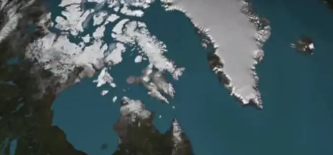
NASA First Ever Mapped Greenland’s Ice Sheet in 3D
Scientists using ice-penetrating radar data collected by NASA’s Operation IceBridge and earlier airborne campaigns have built the first-ever comprehensive map of layers deep inside the Greenland Ice Sheet. This new
Videos
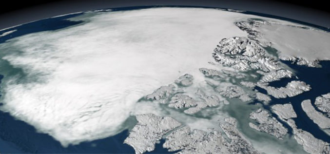
NASA | Greenland’s Ice Layers Mapped in 3D
A three-dimensional view of the age and structure of the Greenland Ice Sheet Scientists using ice-penetrating radar data collected by NASA’s Operation IceBridge and earlier airborne campaigns have
Remote Sensing
Satellite Data Not Enough To Predict Melting Ice Caps
New research from a team of European scientists has found there is not enough satellite data to determine the rate of polar ice cap melt very far into the future and
