
Tag "Groundwater Mapping"
Remote Sensing
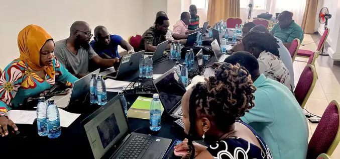
USGS Uses Remote Sensing for Groundwater Mapping in Kenya
Groundwater mapping in Kenya has received a major boost through the use of remote sensing technologies, spearheaded by the U.S. Geological Survey (USGS), USAID, and Northern Arizona University. Remote sensing
GIS
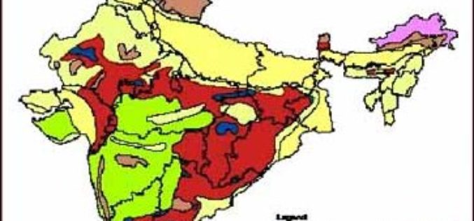
3D Mapping of Groundwater Resources of India
In recent news by Deccan Chronicle, National Geophysical Research Institute (NGRI) is planning to take up a massive a groundwater mapping programme across the entire landmass of India using advanced
