
Tag "Han River"
GIS
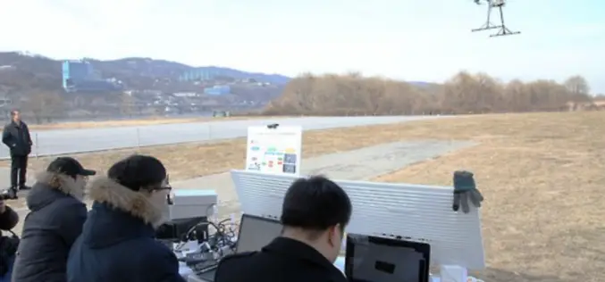
South Korea Government Using Drones to Map Hazardous Areas
According to recent news by Korea Bizwire – On Tuesday, the Ministry of Land, Infrastructure and Transport demonstrated its latest 3D-mapping technology that makes use of drones, at the Han River
