Tag "INCOIS"
Disaster Management Authorities to Get a New Tool to Handle Tsunamis
According to recent news by the First Post, Disaster management authorities are all set to get a new tool to handle tsunamis. They will be able to know how far the
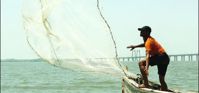
Blue Revolution: GIS to Boost Fisheries Sector
According to recent news by BTvIn, Indian Prime Minister Narendra Modi has signed off a “Blue Revolution” with the approval of Rs 3,000 crore for the Integrated Development and Management
International Training Course On “Ocean Colour Remote Sensing – Data, Processing and Applications” Organized by ITCOcean & ESSO-INCOIS
International Training Course On “Ocean Colour Remote Sensing – Data, Processing and Applications” Organized ITCOcean and ESSO-INCOIS, Hyderabad, India November 10-14, 2014 Indian National Center for Ocean Information Service (INCOIS) under Earth
INCOIS: 3D Mapping of Cyclone Prone Zones
Indian national Centre for Ocean Information Services (INCOIS) has started survey of cyclone prone areas. The survey carried out to build a comprehensive database of all residential and other construction
Call for Applications for the Ph.D. Programme by ESSO-INCOIS
ESSO-INCOIS is a leading institute in the field of operational Oceanography with a specific objective to provide oceanographic information and advisories to public. The services of ESSO-INCOIS are supported by focused in-house
INCOIS: International Training Course On”Ocean Colour Remote Sensing – Data, Processing and Applications”
International Training Course On “Ocean Colour Remote Sensing – Data, Processing and Applications” Organized by International Training Centre for Operational Oceanography (ITCOcean) ESSO-INCOIS, Hyderabad, India November 10-14, 2014 Indian National Center for Ocean Information Service (INCOIS) under earth System Science organization (ESSO) is a dedicated institution for operational oceanography and the


