
Tag "IRNSS 1A"
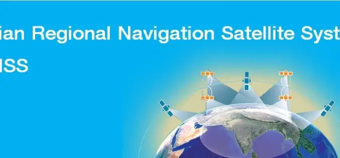
India’s Own Satellite Navigation System – IRNSS
Submitted by: A satellite navigation system is a system of satellites that provide location (longitude, latitude, and altitude) to high precision (within a few metres) with small electronic receivers. The electronic receivers calculate the current local time to high
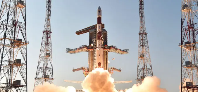
IRNSS-1D, 4th Satellite of IRNSS Constellation Launched Successfully
Today (Mar. 28, 2015) ISRO’s Polar Satellite Launch Vehicle, PSLV-C27, successfully launched IRNSS-1D from Satish Dhawan Space Centre, Sriharikota. The satellite is one among the seven of the IRNSS constellation

India, Russia to Work Jointly on Development of Navigation Platform, GIS
Strengthening their cooperation in the field of space technology, Russia and India today signed an agreement which will enable joint development and implementation of projects like navigation platform and Geographical Information System in India.
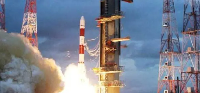
PSLV-C26 Successfully Lifted off India’s Third Navigation Satellite IRNSS-1C
Oct 16, 2014, ISRO’s Polar Satellite Launch Vehicle, PSLV-C26, successfully launched IRNSS-1C, the third satellite in the Indian Regional Navigation Satellite System (IRNSS), in the early morning hours of today

India’s PSLV-C24 Lifted off Sucessfully IRNSS-1B Spacecraft
The PSLV-C24 lifted off at 17:14 hrs (IST) on board with IRNSS-1B spacecraft. IRNSS-1B is the second satellite of India’s national programme Indian Regional Navigation Satellite System (IRNSS). IRNSS system will
