Photo Credit: ISRO
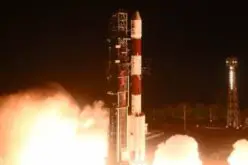
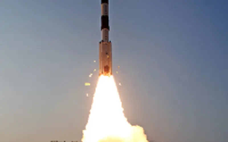
The PSLV-C24 lifted off at 17:14 hrs (IST) on board with IRNSS-1B spacecraft.
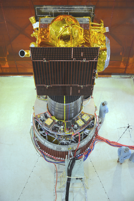
IRNSS-1B is the second satellite of India’s national programme Indian Regional Navigation Satellite System (IRNSS). IRNSS system will have seven satellites and ISRO has planned to launch seven satellites by 2016. At present IRNSS-1A is an active satellite. Only four satellites will be needed for precise positioning.
The IRNSS system will consist of three geostationary satellites and two pairs of spacecraft in inclined geosynchronous. IRNSS satellites will be transmitting signals on L and S-band frequencies at 1,176.45 and 2492.028 megahertz respectively.
The IRNSS will provide accurate position information service to users within the country and up to 1,500 km from the nation’s boundary line unlike other navigation system such as GPS by US and GLONASS by Russia. These satellites will be used for used for navigation (marine, aerial and terrestrial) and also for disaster management, vehicle tracking and fleet management, integration with mobile phones, mapping and geodetic data capture among other uses.
Having its satellite based navigation system will make India independent of mercy by US or Russia for accurate navigation data. This becomes a particular point of concern since GPS is also being extensively used by the military.
India will join a group of elite nations when the IRNSS system becomes operational.
Other navigation system are:
- GPS – USA
- GLONASS – Russia
- Galileo – EU
- Baidu – China
- Quasi-Zenith – Japan