
Tag "land cover mapping"
Software
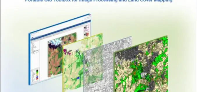
IMPACT: Open-source Software for Image Processing and Land Cover Mapping
The image processing and land cover mapping community can enjoy a new free software developed by the EU Joint Research Centre. The IMPACT tool is a portable browser-based application for
Software
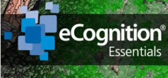
eCognition Essentials-Powerful Out-of-the-Box Land Cover Mapping Solution
eCognition Essentials is a new software solution for geospatial and remote sensing professionals performing land cover mapping tasks using imagery. eCognition Essentials offers an intuitive image analysis solution that allows users
