
Tag "Leica"
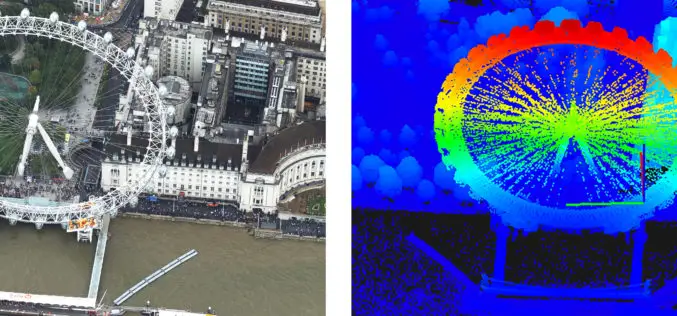
Bluesky uses Leica CityMapper to capture major UK cities in 3D
Heerbrugg, Switzerland, 21 November 2018 – Leica Geosystems, part of Hexagon, announced today the Leica CityMapper, the world’s first hybrid airborne sensor combining vertical and oblique aerial imagery together with
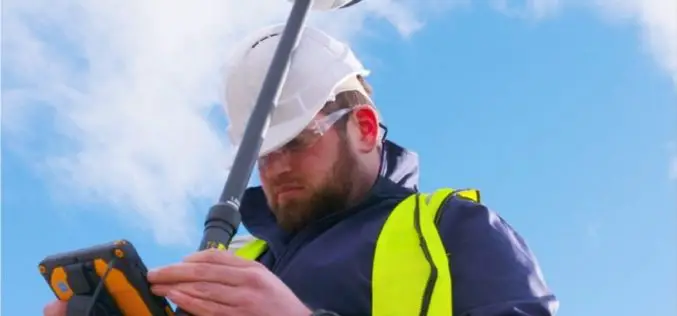
Leica Geosystems, GeoPal Partner to Add High Accuracy to Mobile Operations, Drive Efficiency, Productivity…
Leica Geosystems, GeoPal partner to add high accuracy to mobile operations, drive efficiency, productivity, ensure safety benefits for utility asset collection (Heerbrugg, Switzerland, 26 July 2018) – Leica Geosystems, part
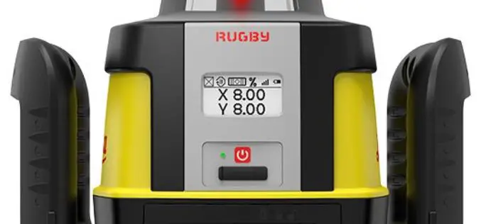
Hexagon Announces Next Generation Leica Rugby Lasers – The First Upgradable Lasers for Construction
February 15, 2018 – Hexagon, a leading global provider of information technology solutions, launched today the Leica Rugby CLH and Leica Rugby CLA lasers. This next generation of lasers offer the
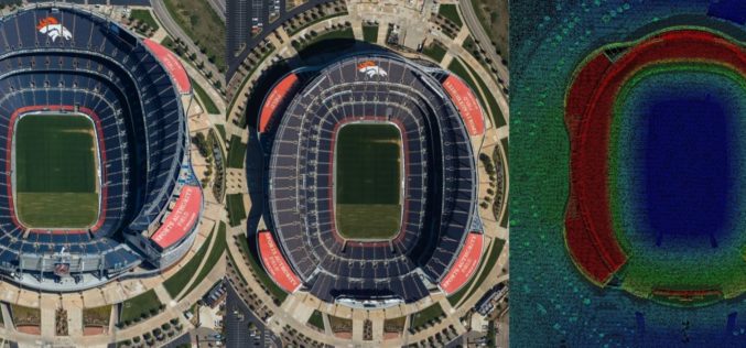
Airborne LiDAR Production Now Fully Integrated With Leica HxMap Workflow
Leica Geosystems, industry leader for reality capture and measurement technology, announced today the release of LiDAR data processing capability in the Leica RealCity solution package. Leica Geosystems partnered with international asset

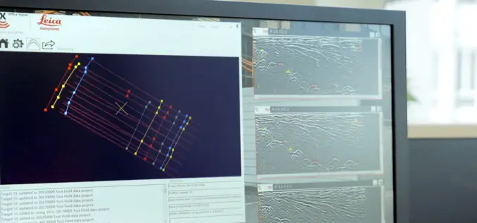
Leica Webinar: Leica Captivate Pipeline: A Transformative Approach to Pipeline Surveying
Leica Captivate Pipeline: A Transformative Approach to Pipeline Surveying Tue, Aug 8, 2017 11:00 AM – 12:00 PM PDT With more than 30,000 miles of pipeline planned and under construction
New Utility Post Processing Software Delivers CAD Drawings in Less Time with Professional Results
Leica DX Office Vision enables non-experienced CAD users to digitally map detected underground utilities (Heerbrugg, Switzerland, 14 June 2017) – Leica Geosystems, industry leader in measurement technology, released today its
Leica Geosystems Announces Complete Imaging Solution: Leica BLK360 Imaging Laser Scanner and Autodesk ReCap 360 Pro app
Las Vegas, November 16th, 2016, Leica Geosystems announced the “BLK360,” a revolutionary miniaturized black 3D imaging laser scanner. The product was revealed at Autodesk University 2016 and will be bundled
Leica Geosystems Expands LiDAR Capabilities in ALS80 Airborne Sensor
(Heerbrugg,Switzerland/Anaheim, California, USA, 16 June 2016) – Leica Geosystems, global leader of measurement and reality capture technologies, today announced it has expanded functionality of the popular ALS80 airborne sensor that
Leica Geosystems Establishes Georadar Portfolio
(HEERBRUGG, SWITZERLAND, 15 June 2016) – Leica Geosystems, global leader of measurement and reality capture technologies, today announced the establishment of a georadar portfolio with three releases to provide applications
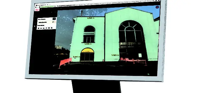
Leica Geosystems Releases New Software Capabilities for Web-Based Collaboration Using Digital Reality Capture Data
Leica Geosystems, global leader of measurement and reality capture technologies, today released TruView Global 2.0. The easy-to-use software integrating point cloud, 3D model and panoramic imagery now supports multiple communities
