
Tag "orthophoto"
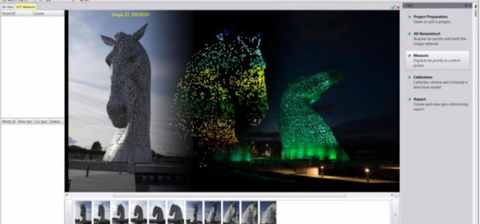
Trimble Inpho UASMaster 9.1 Now Available
UASMaster is one of Trimble’s UAS processing software solutions. UASMaster is engineered on the basis of the well-established Inpho advanced airborne photogrammetry/airborne LiDAR processing software suite. It offers full automatic geo-referencing, point-cloud
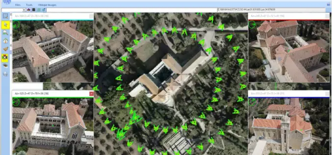
ObliMapper Transforming Drone Imagery into Actionable Visual Intelligence
Israeli company IDAN Computers Ltd. uses the TatukGIS Developer Kernel to develop its ObliMapper aerial drone image capturing, handling, and analysis tool designed to efficiently combine the benefits of orthophotos

SimActive Introduces New Technology for True Orthos
November 28, 2017 – SimActive Inc., a world-leading developer of photogrammetry software, is pleased to announce Correlator3D™ version 7.1 with revolutionary technology for true orthos. Users can now automatically generate enhanced

Webcasts: Creating Digital Terrain Models with ImageStation DTM for GeoMedia
Creating Digital Terrain Models with ImageStation DTM for GeoMedia Accurate and up-to-date elevation data layers provide the foundation for a wide variety of applications, from urban change detection to transportation
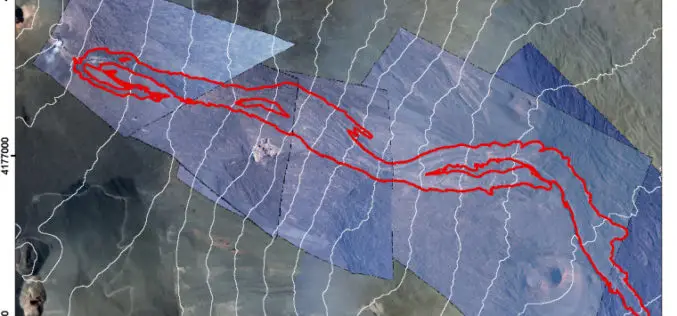
Monitoring Active Volcanoes Using Aerial Images and the Orthoview Tool
Monitoring Active Volcanoes Using Aerial Images and the Orthoview Tool – Maria Marsella, Carla Nardinocchi, Cristina Proietti, Leonardo Daga and Mauro Coltelli Abstract: In volcanic areas, where it can be difficult to

VisionMap Releases LightSpeed Version 3.7
Ramat Gan Israel – June 11, 2014. VisionMap Ltd, leading provider of aerial survey and mapping systems, has released a new version of its A3 LightSpeed image processing suite. The
