
Tag "pipeline"

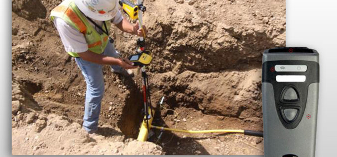
Leica Webinar: Leica Captivate Pipeline: A Transformative Approach to Pipeline Surveying
Leica Captivate Pipeline: A Transformative Approach to Pipeline Surveying Tue, Aug 8, 2017 11:00 AM – 12:00 PM PDT With more than 30,000 miles of pipeline planned and under construction
CartoPac Unveils Barcode Scanner Solution for Gas Utility Pipeline Mapping
CartoPac Unveils Barcode Scanner Solution for Gas Utility Pipeline Mapping Integrated Hardware, Software Included FORT COLLINS, Colorado, USA, 27 April 2017 – CartoPac International Inc., an enterprise mobile software and
Geotagging of Pipelines for Effective Water Supply Management
Hyderabad-India: According to recent news by The New Indian Express, the Hyderabad Metro Water Supply and Sewerage Board (HMWS&SB) has drawn plans to prepare a reliable and accurate GIS map

GAIL to Use Drones, Satellite Mapping To Monitor Pipeline Network
GAIL (India) Ltd has decided to use drones and satellite imagery to map and monitor its pipeline network while expanding its Sahyogi (partner) scheme to detect/prevent encroachment and terror attack
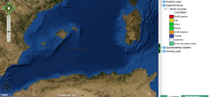
Medea S.p.A., Italy Chooses SuperGIS for Pipeline Service Management
Supergeo Technologies, the leading GIS software provider,announces that Medea S.p.A., Italy selects SuperGIS Desktop and SuperGIS Server to manage its pipeline management for enhancing citizens’ life quality. Having 30-years experience,
