
Tag "QuickBird"
Remote Sensing
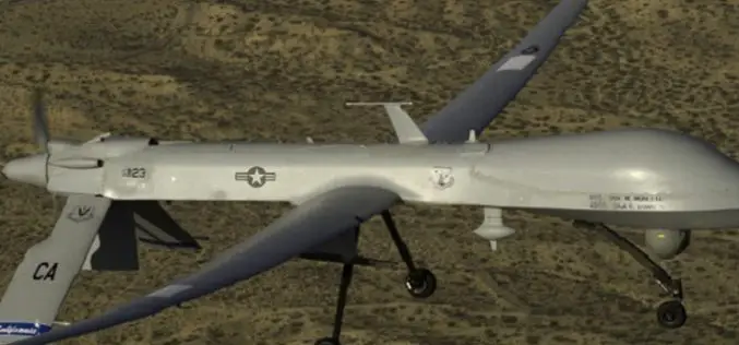
Drone Bombings in the Federally Administered Tribal Areas: Public Remote Sensing Applications for Security Monitoring
Drone bombing, as a US defense strategy in Pakistan, began under the George W. Bush administration as part of the “US War on Terrorism” and aimed to defeat Taliban and
Research Papers
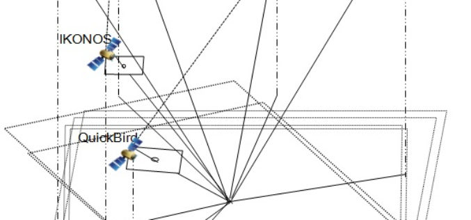
Geo Positioning Accuracy Using Multiple-Satellite Images: IKONOS, QuickBird, and KOMPSAT-2 Stereo Images
Geo-Positioning Accuracy Using Multiple-Satellite Images: IKONOS, QuickBird, and KOMPSAT-2 Stereo Images – Jaehoon Jeong, Chansu Yang and Taejung Kim Abstract: This paper investigates the positioning accuracy of image pairs achieved by integrating images
