
Tag "Solar Potential"

GIS
Bangalore Started Rooftop Solar Energy Potential Mapping Using Aerial LiDAR
According to recent news reported by The Hindu, Over the fortnight, a helicopter armed with LiDAR system will fly across the city, mapping its potential to generate rooftop solar energy. The
Remote Sensing
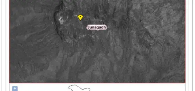
ISRO Develops “Solar Calculator” Android App
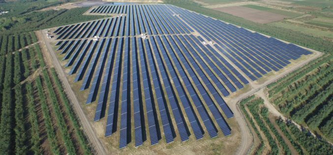
Computation of solar energy potential is essential to select the locations for solar photovoltaic (PV) thermal power plants. The use of remote sensing observations from geostationary satellite sensors is ideal to capture
GIS
World Bank in Partnership with AEDB Launched a Series of New Solar Potential Maps for Pakistan
According to recent news reported by The news International, The World Bank, in partnership with the Alternative Energy Development Board (AEDB) has recently launched a series of new solar maps for
