World Bank in Partnership with AEDB Launched a Series of New Solar Potential Maps for Pakistan
Solar Potential Farming
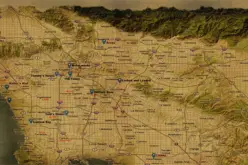
According to recent news reported by The news International, The World Bank, in partnership with the Alternative Energy Development Board (AEDB) has recently launched a series of new solar maps for Pakistan. in support of the efforts to increase the deployment of renewable energy in Pakistan.
These new solar maps will definitely ensure qualified improvement to harness the tremendous solar potential and support to the efforts to increase the deployment of renewable energy in Pakistan.
The World Bank said the solar mapping will help in expanding access to sustainable and affordable sources of indigenous energy in the country. Pakistan becomes the first country to benefit from validated solar maps under a global initiative on renewable energy resource mapping, led by the energy sector management assistance program, a multi-donor trust fund administered by the World Bank, it added.
Pakistan joins a small group of mainly developed countries, having access to duly validated and high-quality solar energy maps available for planning and prospecting purposes. This initiative will facilitate investors in making more informed project decisions.
The World Bank project on solar mapping in Pakistan includes field data, which is being generated by nine solar measurement stations installed two years ago throughout the country. The project supports AEDB’s efforts to harness renewable energy in all the provinces by improving access to bankable data.
The solar maps used the latest solar resource modeling techniques, based on 18-years of satellite and global atmospheric data from 1999-2016. The new solar maps were launched at a workshop where participants learned about the ground-based measurement campaign, and discussed various options for continued operation of the nine solar measurement stations installed at diverse locations in Pakistan.
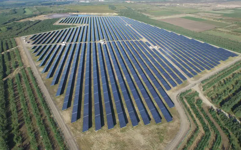
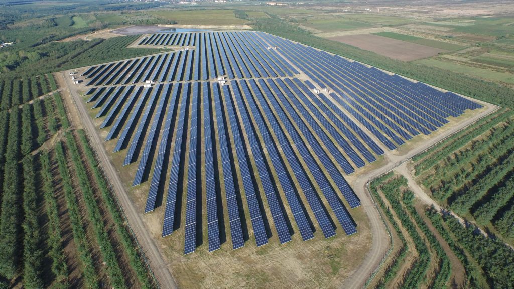
The maps will help large solar power projects in obtaining commercial financing by reducing the resource risk. In addition, the maps are available in digital format for use in geographic information system applications and Google earth.