
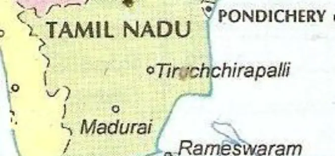
Tag "Tamil Nadu"
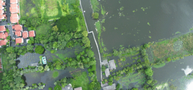
Tamil Nadu Government Started UAV Survey to Map Flood-Prone Areas
According to recent news by The Hindu, the Tamil Nadu Government in association with Anna University has launched an Unmanned Aerial Vehicle (UAV) for Photogrammetric mapping of water resources in Cuddalore

Bhuvan Tamil Nadu FS: A Mobile App to Monitor Flood Situation
Bhuvan Tamil Nadu FS App is a user-friendly mobile application which enables to collect and report for geo-tagged of flood information on various parameters such as type of damage and
Tamil Nadu Integrates GIS Mapping to Check on School Dropouts
Tamil Nadu would be the first state in the country to integrate Geographical Information System (GIS) mapping with the education management information system to check on school drop outs, IT

GIS Governance for Tamil Nadu State, India
In recent news, Government of Tamil Nadu has announced the implementation of Geographical information System (GIS) for Tamil Nadu state. Tamil Nadu Geographical Information System (TNGIS) is an initiative to ensure
