 Tamil Nadu would be the first state in the country to integrate Geographical Information System (GIS) mapping with the education management information system to check on school drop outs, IT Minister ‘Mukkur’ N Subramanian said today.
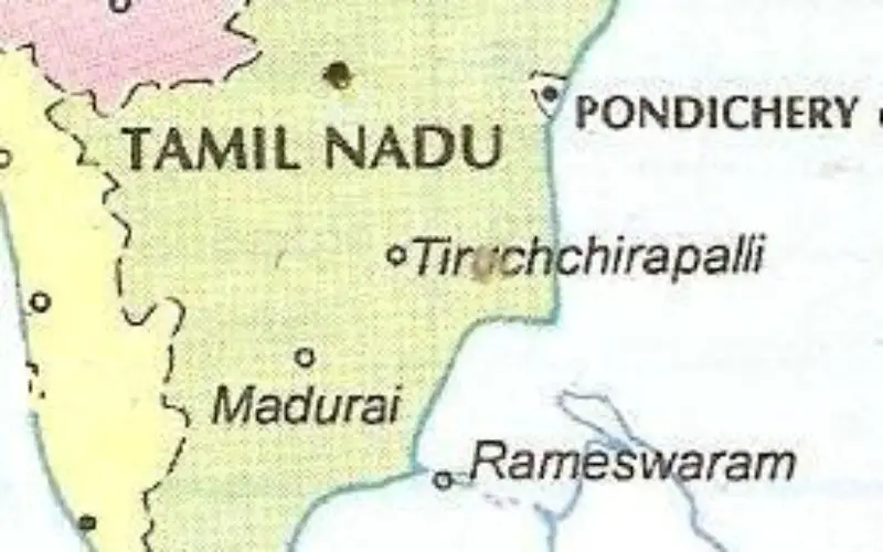
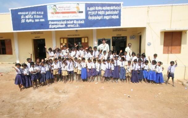
“The GIS mapping clubbed with the Education Management Information System will help the department to keep a track of not only the schools but also every school going child”, the minister informed the Assembly. A pilot study was under way in five government schools in Tiruchirapalli district, he said. “Tamil Nadu will be the first state in the country to integrate the GIS mapping with the Education Management Information System”, he said.
Geographic Information System allows a user to map, model and analyze large quantities of data within a single database according to the respective location. The government promoted Electronics Corporation of Tamil Nadu and Tamil Nadu e-Government Agency has envisaged the project which aims in providing technical guidance and project implementation support for Mission Mode departments.
Noting that the Government departments have implemented e-governance projects for the past few years, he said, “the IT department is facilitating the departments with infrastructure facilities like Tamil Nadu State Wide Area Network and Common Service Centre for enabling electronic delivery of services.
Agriculture, commercial tax, Municipal administration, Panchayat Raj, Police have been described as the Mission Mode departments of the State government.
Source: PTI