
Tag "Total Station"
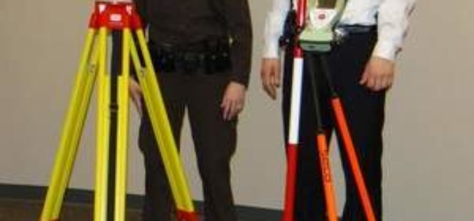
Robotic Total Station to Collect Crash Scene Evidence
According to recent news, Dodge County, USA has obtained Leica Robotic Total Station to collect evidence faster at crash scenes. Investigation of traffic collision is quite a challenging task for
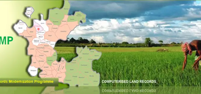
National Land Records Modernization Programme (NLRMP): A Government of India Flagship
Raja Todarmal had introduced land revenue, land survey and settlement system in India during the regime of great Mughal emperor Akbar. On the basis of land survey Raja Todarmal prepared the maps

Dhakambe, the First Village to Mapped under E-gaothan
In recent news, Dhakambe a village located around 15 km from Nashik city, has become the first village in Maharashtra under the e-gaothan pilot project. E-gaothan is a land record
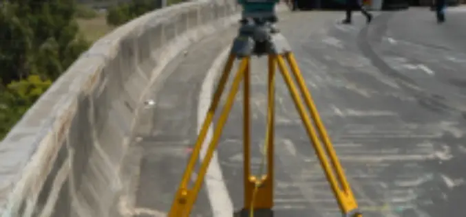
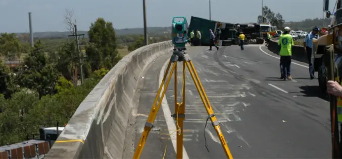
Crash Investigators are using Total Station and 3-D Imaging
GALESBURG- Investigation of traffic collision is quite a challenging task for investigators across the world. Introduction of new technological tools (total station) are truly effective in documentation of crash and
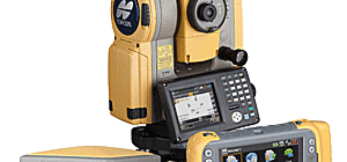
Topcon Announces Release of Hybrid Robotic System
Topcon’s Hybrid Robotic System Features New DS Total Station Topcon Positioning Group announces the release of its Hybrid Robotic System at Netherland, featuring the new DS series robotic
Total Station to Investigate Traffic Collision
A traffic collision, also known as a traffic accident, motor vehicle collision, motor vehicle accident, car accident, automobile accident, road traffic collision, road traffic accident, wreck(USA), car crash, or car smash (Australian) occurs when a vehicle collides with another vehicle, pedestrian, animal, road debris, or
Total Station And Its Applications In Surveying
1. Introduction The Total station is designed for measuring of slant distances, horizontal and vertical angles and elevations in topographic and geodetic works, tachometric surveys, as well as for solution
