
Tag "UAV Mapping"
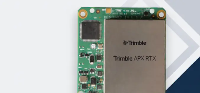
Trimble Introduces New Direct Georeferencing Portfolio for UAV Mapping
Trimble (Nasdaq: TRMB) has announced the launch of premium direct georeferencing solutions for mapping sensors on uncrewed aerial vehicles (UAVs) – the Trimble® APX RTX portfolio. When used by original
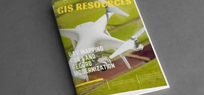
GIS Resources Magazine (Issue 1 | March 2021): UAV Mapping for Land Record Modernization
GIS Resources is pleased to announce the release of its 1st edition (March 2021) of the print and digital magazine. The edition titled “UAV Mapping for Land Record Modernization” focuses on the

Velodyne LiDAR Partners with YellowScan for Integrated LiDAR for UAVs
YellowScan to leverage Velodyne’s lightweight VLP-16 Puck LiDAR sensors for its advanced aerial Surveyor LiDAR system October 26, 2017 – SAN JOSE, Calif.–(BUSINESS WIRE)–Velodyne LiDAR Inc., the world leader in 3D
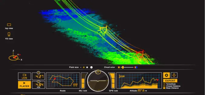
ILMF 2017: YellowScan Launches YellowScan LiveStation
ILMF 2017: YellowScan launches YellowScan LiveStation, Real-time in-flight LiDAR Station, a must for long endurance and critical LiDAR flights Yellowscan is very pleased to announce the launch of the YellowScan
