
Tag "hazard"

HazardHub Democratizes Hazard Risk Data with New API
For the first time, geographic risk data is available via a real-time API for inclusion to clients’ internal systems. San Diego, CA (PRWEB) January 17, 2017 – HazardHub, the nation’s first
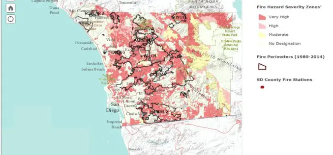
San Diego County Launch Web Based Wildfire Hazard Map Tool
Fire is a constant threat in San Diego County, and drought, high temperatures in the summer and fall, combined with seasonal Santa Ana winds can led to explosive fire growth.

European Union and China Have Signed a Research Deal on Remote Sensing
European Union and China have signed a new collaborative research arrangement in the area of remote sensing. The deal, which emerged during the Europe-China summit, involves Europe’s Joint Research Centre (JRC) and
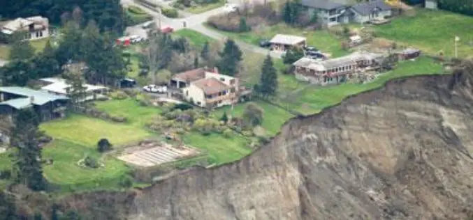
Washington State to Use LiDAR for Mapping of Geological Hazards
OLYMPIA, Washington – Gov. Jay Inslee has signed a bill that will allow Washington to have more information than ever about geologic hazards that threaten communities and citizens. Senate Bill
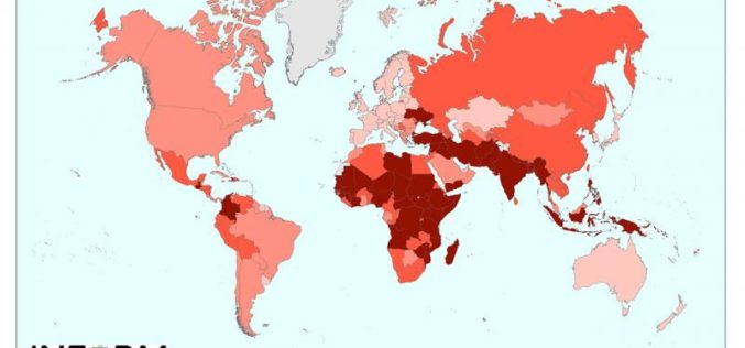
New Tool for Understanding the Risk of Humanitarian Crises and Disasters
The first global open-source risk assessment tool for humanitarian crises and disasters was launched today.INFORM (Index for Risk Management) is designed to support decisions about prevention, preparedness and response, helping humanitarian
