
Tag "Geospatial Analysis"
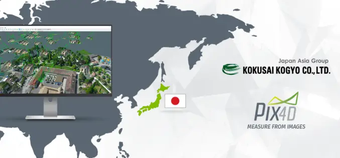
Pix4D Partners with Kokusai Kogyo in Japan to Deliver a 3D Geospatial Analysis Cloud Service
Full automation for 3D spatial analysis that support i-Construction and public surveying November 20, 2017 – Pix4D is partnering with Kokusai Kogyo Corporation (KKC)—the leading geospatial consulting company in Japan–to deliver
University of Guelph: Prof. John Lindsay Develops Whitebox Geospatial Analysis Tools for Processing Geospatial Data
Professor John Lindsay has developed a one-of-a-kind software package called Whitebox Geospatial Analysis Tools for processing geospatial data that he says has put the University of Guelph on the map
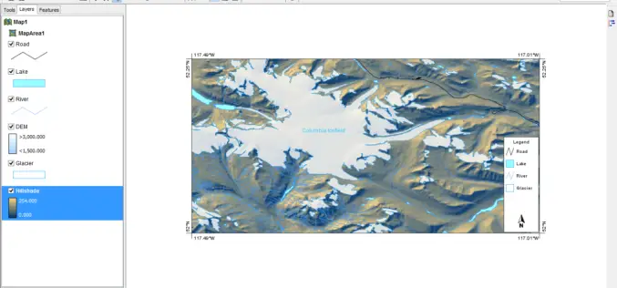
PCI Geomatics Releases Geomatica 2017, Featuring Geomatica Object Analyst and Geomatica InSAR Modules
MARKHAM, Ontario, Canada — April 11, 2017: PCI Geomatics, a world leading developer of remote sensing and photogrammetric software and systems, announced today the release of Geomatica 2017 – the

Learn What Location Analysis Can Bring to Your Business
Esri’s free classes highlighting the benefits of location analysis continue with The Location Advantage. The course is business oriented and explores market planning, site selection, market analysis, and supply chain

Combining SAR and Optical Imagery for Mapping and Change Detection
PCI Geomatica Webinar: Combining SAR and Optical Imagery for Mapping and Change Detection February 25, 2016 | 4:00 AM EST – 9:00 AM (GMT) | 2:00 PM EST – 7:00 PM (GMT) PCI
Master Geomatica from the comfort of your Home! 2015 Training Sessions on Now!
PCI Geomatics is the world leader in geo-imaging products and solutions. PCI Geomatics has set the standard in remote sensing and image processing tools offering customized solutions to the geomatics

PCI Geomatics Announces Release of Geomatica 2015
MARKHAM, Ontario, Canada—April 28, 2015: PCI Geomatics, a world leading developer of geo-imaging software and systems, today announces the release of Geomatica 2015; the latest version of the company’s complete
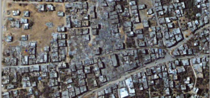
Impact of the 2014 Conflict in the Gaza Strip – UNOSAT Satellite Derived Geospatial Analysis
Impact of the 2014 Conflict in the Gaza Strip – UNOSAT Satellite Derived Geospatial Analysis This satellite derived geospatial analysis documents damages over the Gaza Strip following the July-August 2014
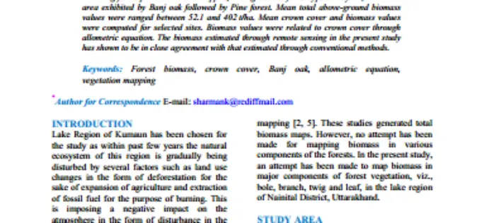
Geospatial Analysis of Biomass in Lake Region of Kumaun Himalaya, Uttarakhand
Abstract The present study includes vegetation and forest biomass mapping in the lake region of Kumaun, Uttarakhand, using IRS1C LISSIII satellite data. A total of 11 forest types including forest
