
Tag "Geotagging"

IIT-Roorkee Professor Develops New Technology for Aerial Survey
According to recent news by the Hindustan Times, Professor Kamal Jain at the civil engineering department of the IIT used a drone for taking videos with an interactive web map to demonstrate
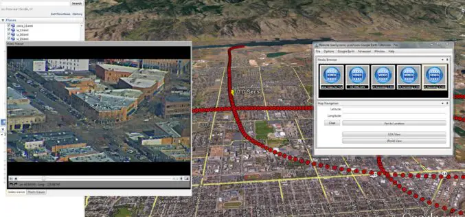
Remote GeoSystems Launches LineVision Google Earth Extension for Project Reporting with Geotagged Videos & Photos
Remote GeoSystems Releases All-New LineVision Google Earth Extension for Geotagged Video Playback, Analysis, Collaboration and Reporting Using Google Earth & Other GIS FORT COLLINS, Colorado – Remote GeoSystems, Inc. is
Geotagging of Pipelines for Effective Water Supply Management
Hyderabad-India: According to recent news by The New Indian Express, the Hyderabad Metro Water Supply and Sewerage Board (HMWS&SB) has drawn plans to prepare a reliable and accurate GIS map
Trivim – A Free and Open Source Software for 3D Street Model Generation
Trivim (Alpha) is a free and open source software for 3D Street Model Generation. Trivim is developed by Indian Institute of Remote Sensing (IIRS). Indian Institute of Remote Sensing (IIRS) under Indian Space Research
Tag at Hot Tourist Spots with GIS
Tourism management is highly relevant with locations, so GIS is useful to find out better solutions. However, traditional research consumes a lot of time on data collecting, and is limited
Geotagging to Avoid False Damage Claims
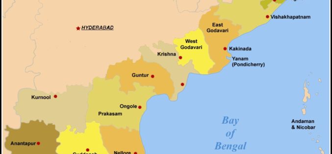
In recent news by The Indian Express, in his visit to Visakhapatnam post-Hudhud, Prime Minister Narendra Modi had suggested that the Andhra Pradesh State government use the latest technology to
