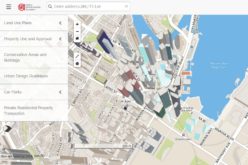
 According to recent news by www.futuregov.asia, The Urban Redevelopment Authority is now using 3D mapping to get a more realistic view of the city and simulate future scenarios, so agencies can plan their services better.
Planners can run new types of analyses in 3D can also run 3D simulations to understand how a future development may impact its surroundings and create scenarios to optimise this. For example, a planner can see how a building casts shadows on its surroundings . This can be used to decide where best to plant trees to mitigate heat in the area.
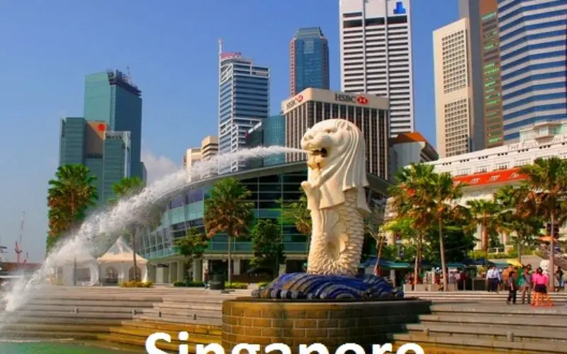
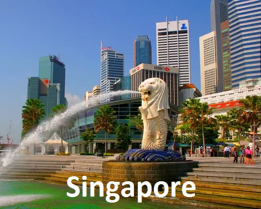
Singapore has limited land, but its skyline is constantly changing. The city’s urban planning agency has found that 2D maps and physical models are not able to keep up with such a complex environment, its Chief Information Officer, Peter Quek said.
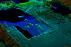
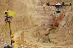
There are challenges that the agency is dealing with in using such a detailed system. Image gathering is one issue. Although advanced techniques like satellite imagery and remote sensing with laser are useful for gathering data on terrain, more intensive modelling techniques have to be used for creating high quality models of the buildings. “For planning we want a very realistic view. For that kind of an experience, we need to do a lot of ground survey and take photographs, so we need to have a team of highly trained people to do that,” Quek said.
However, the benefits of using 3D mapping are “tremendous”, Quek believes. In the past, it was not possible to generate many scenarios for future planning, he said. “Using physical models, you generate two to three scenarios and stop there,” he said. “But with a 3D model in place, you can generate many times the possibilities and optimise the plan.”
The authority plans to complete detailed 3D models of 50 per cent of Singapore’s urban areas by end of 2015, and complete the entire model in two to three years, said Quek.