
Archive
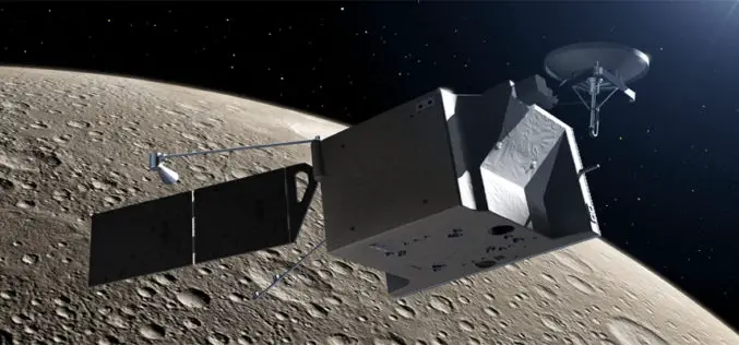
Thermal IR spectroscopy for Mercury
Understanding the formation and evolution of Mercury, the innermost terrestrial planet, is important for studying the early stages of our solar system. Until recently, the surface composition of Mercury was

The village of Algonquin Recognized for GIS Technology
Environmental Systems Research Institute (ESRI) recognizes organizations that embrace GIS technology to improve the world and contribute to the GIS community with its Special Achievement in GIS Award. The village
American Society of Photogrammetry and Remote Sensing: Call for Papers on Hyperspectral Remote Sensing
Call for Papers: Hyperspectral Remote Sensing of Vegetation and Agricultural Crops Hyperspectral remote sensing is fast emerging as a key technology for advanced and improved understanding, classification, modeling, monitoring, and
Australia: How the City Would Fare if the Natural Disaster Were to Occur Again in 2013?
A team of Queensland firies has ignited the interest of emergency response teams from around the world, after using cutting-edge mapping technology to tackle a catastrophic problem from the dark
Experts mull on using GIS for watershed management
New Delhi: Association of Geospatial Industries (AGI) and Department of Land Resources (DoLR) under the Ministry of Rural Development (MoRD) on Tuesday organised a one-day joint strategy workshop for MoRD’s
GIS Market in India 2012-2016
The GIS market in India to grow at a CAGR of 8.19 percent over the period 2012-2016. One of the key factors contributing to this market growth is the increasing
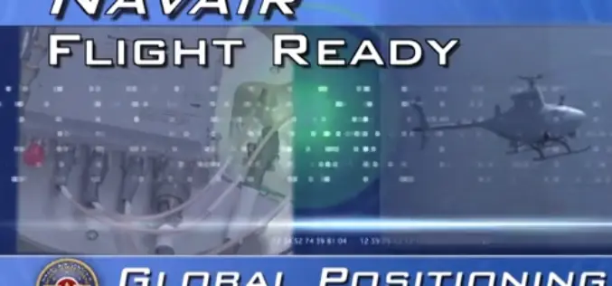
NAVAIR Flight Ready: GPS Anti-Jam Solution
Aiming to save time and money, a GPS anti-jam solution currently found on the P-3 Orion is modified to fit the sleek F/A-18 Hornet and the versatile Fire Scout unmanned aerial vehicle.
Haryana Forest Department to Map Forest Damage using GPS
Haryana Forest Department is mapping forest damage by fire using Global Positioning System (GPS) and plans to use satellite pictures to evaluate changes in forest and plantation areas. Haryana Space
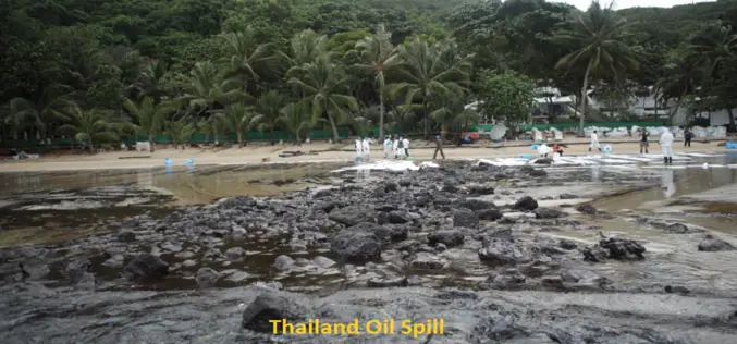
Satellite image shows Thailand’s oil spill
BANGKOK – The oil spill that hit Thailand’s popular Koh Samet island appears to be moving to coastal areas of the eastern province of Rayong, threatening to worsen the impact
Unmanned Aerial Vehicles (UAV)
According to the UVS International definition, a UAV is a generic aircraft design to operate with no human pilot onboard. Unmanned Aerial Vehicles (UAV) has recently become commercially available at
