
Archive
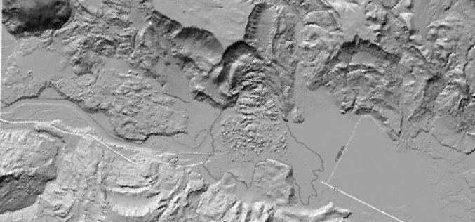
Meeting the Elevation Needs of the Nation
Nearly 25 state-specific fact sheets are now available to understand 3DEP applications Want to know how elevation will benefit your state? The USGS National Geospatial Program is advancing the 3D Elevation Program,
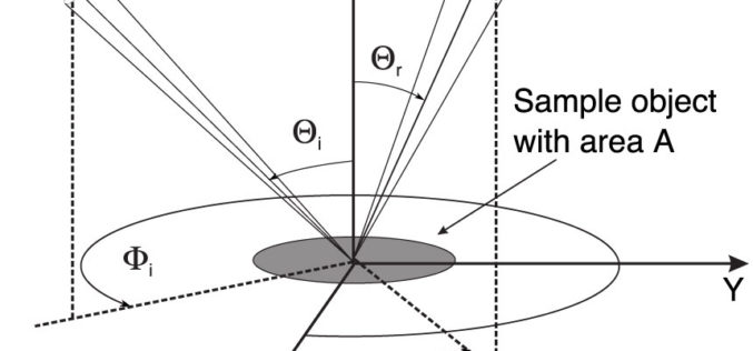
Monostatic Measurement of the Polarized Bidirectional Reflection Distribution Function
Monostatic Measurement of the Polarized Bidirectional Reflection Distribution Function by Oscar G. Rodríguez-Herrera and J. Scott Tyo Controlling the spatial coherence and polarization of electromagnetic waves sheds new light on the

PhD position in Remote Sensing at Oregon State University
Oregon State University (OSU) is a flagship university of the Oregon University System. A coeducational, public research university located in Corvallis, Oregon, United States. The university offers undergraduate, graduate, doctoral degrees and a multitude of research opportunities. The Remote Sensing
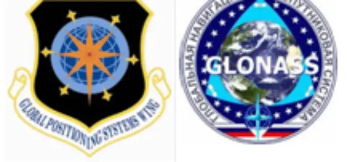
Russia Could Shut Down GPS Services Over U.S. GLONASS Impasse
Russia is about to shut down U.S. Global Positioning System (GPS) stations on Russian Territory if Washington continues to refuse setting up transmitters for Russia’s navigation satellite GLONASS in the

NASA-CNES Move Forward with Global Water and Ocean Surface Mission
NASA and the French space agency Centre National d’Études Spatiales (CNES) have agreed to jointly build, launch, and operate a spacecraft to conduct the first-ever global survey of Earth’s surface

Xiamen Version of Map World to be Launched This Year
China’s State Bureau of Surveying and Mapping has launched an official online map service called Map World in 2011. It allows users to explore and search for specific locations, and
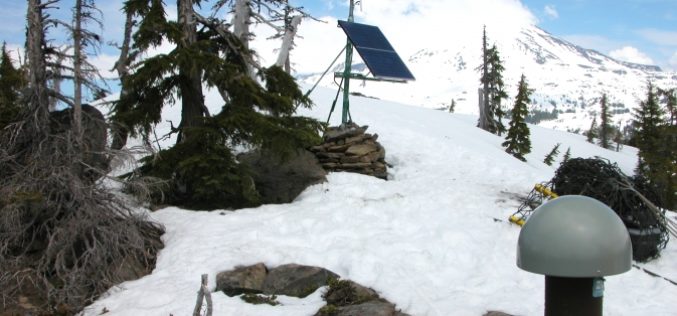
NASA Uses GPS to Find Sierra Water Weight
For the first time, NASA scientists have used GPS to find the total weight of winter snowpack and soil moisture in California’s Sierra Nevada. The new results complement other satellite

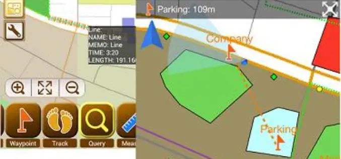
Streamlining Field Survey & Mobile Mapping by SuperSurv
Streamlining Field Survey & Mobile Mapping by SuperSurv Join on Wednesday, June 4th 11:00 AM – 12:00 PM (EDT, New York Time) About Webinar: How could smart devices assist in

Supergeo Establish User Network with Evolving Geosystems in UAE
Supergeo Technologies, a leading global provider of GIS software and solutions, announces the official reseller agreement with Evolving Geosystems Technologies (EGT) to keep providing high-quality total SuperGIS solutions in UAE.
Smart Mapping SuperSurv Available on App Store and Google Play Now
Supergeo Technologies, a leading global provider of GIS software and solutions, launches SuperSurv, the mobile GIS app, on the App Store and Google Play.Containing comprehensive GIS data collection functions, SuperSurv
