
Archive
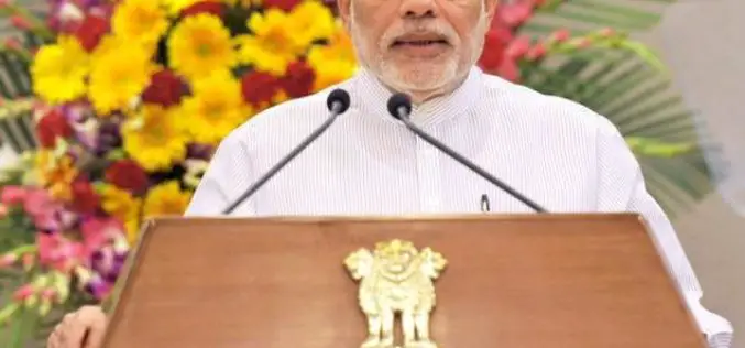
Geospatial Technology to Assist Centre in ‘Housing for All’ Mission
New Delhi, Housing and Urban Poverty Alleviation Ministry has joined hands with National Remote Sensing Center, Hyderabad, for use of latest technologies in its Housing for All urban mission, on the

Topcon Announces Rotary-wing UAS
LIVERMORE, Calif. – October 5, 2015 – Topcon Positioning Group announces the addition of a rotary-wing unmanned aerial system (UAS) to its mass data collection solutions line. The Falcon 8
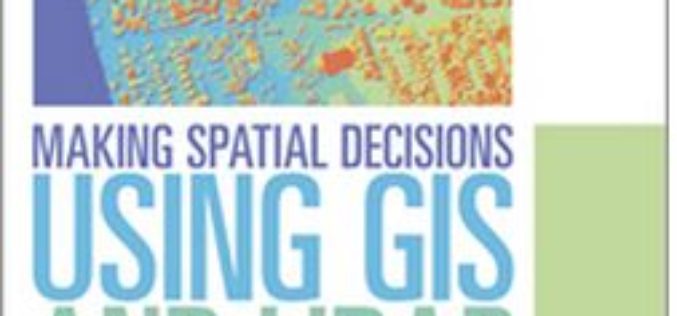
Learn to Make Decisions Using Lidar Data and Geographic Information Systems
New Esri Workbook Teaches Analysis Skills, Combining Lidar Data and ArcGIS Software Redlands, California—A new book published by Esri teaches how to use geographic information system (GIS) software to analyze

Esri Webinar: Reveals New Methods of Imagery Change Detection
The Art and Science of Imagery Change Detection Wed, Oct 21, 2015 10:30 PM – 11:30 PM IST Show in My Time Zone The only thing constant is change. This
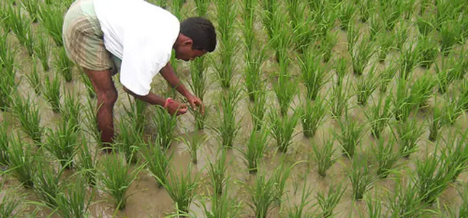
Indian Government Unveils Kisan Project; Hailstorm App to Assess Crop Damage
To fasten payment of crop insurance claims to farmers, the Centre on Monday launched a pilot programme Kisan, which will use satellite and drone-based imaging and other geospatial technology to
USCG Invites Public Comments on Nationwide Differential Global Positioning System (NDGPS)
In a notice by the United States Coast Guard, the Transportation Department, and the Engineers Corps dated 08/18/2015, public comments are requested on Nationwide Differential Global Positioning System (NDGPS). The Coast Guard (USCG)
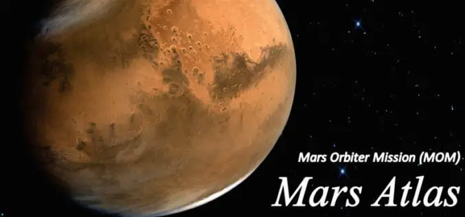
Mars Orbiter Mission – One year of Success: Release of Mars Atlas
Mars Orbiter spacecraft marks one year of its life around the red planet on Sep. 24, 2014. It was launched on Nov. 05, 2013 by the Indian Space Research Organisation

Satellite Mapping of National Highways
In recent news by Business Standard, the National Highways Authority of India (NHAI) is planning to sign a memorandum of understanding (MoU) with the Indian Space Research Organisation (ISRO) to adopt
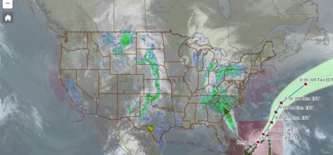
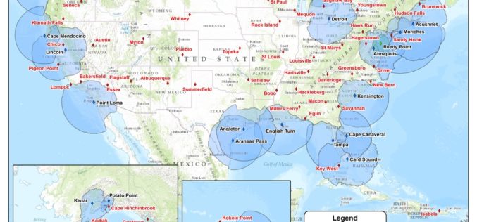
nowCOAST – a Web Mapping Portal to Real-Time Coastal Observations, Forecasts, and Warnings
With Hurricane Joaquin approaching the eastern coast of the United States, anyone looking for reliable NOAA weather mapping services can use the recently launched updated version of NOAA/National Ocean Service’s nowCOAST, a

Manipur Government Using GIS to Boost Handloom Industry
Manipur Commerce and Industries minister Govindas Konthoujam has distributed Rs 2.6 lakh each to 11 handloom clusters of Bishnupur district. The amount is distributed as the first instalment of the
