
Archive
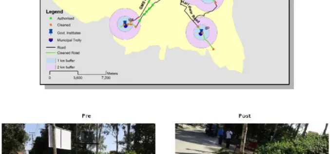
ISRO Utilizes Geospatial Technology for Swachh Bharat Abhiyaan
A novel initiative to contribute in the Swachh Bharat Abhiyaan using the Geospatial Technology (GST) was taken up jointly by the central Government institutions in Dehradun. This initiative was supported
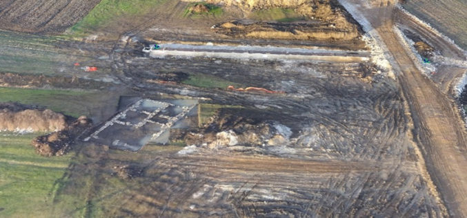
World Bank Has Chosen UAV for Innovative Local Mapping
The World Bank is implementing a $12 million Real Estate and Cadastre Project to assist the government in producing a national cadastre system and geospatial data infrastructure. The team has
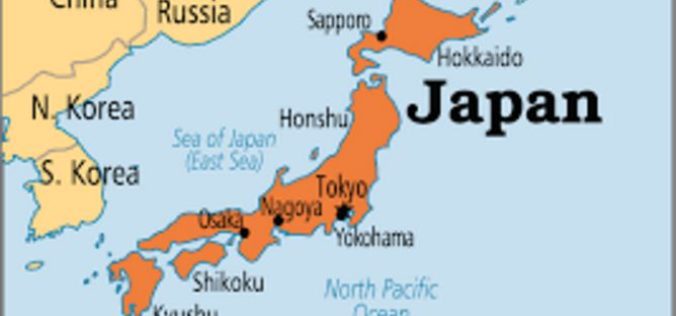
Japan Govt Eyes High-precision Hyperspectral Sensor to Detect Resources
The Government of Japan is planning to conduct a feasibility test for a high-precision sensor capable of detecting oil, rare earths and other mineral resources from the International Space Station

Vricon Data Suite: Putting Earth in Customers’ Hands
7 January 2016 — Today, Vricon unveils its Data Suite that includes the Vricon 3D Surface Model, Vricon DSM, Vricon Point Cloud, and Vricon True Ortho. All four products are

Hexagon Geospatial Launches IGNITE – M.App of the Future Challenge
Competition to Award $260,000 for Hexagon Smart M.App® Innovations NORCROSS, Ga., and LOS ANGELES, January 5, 2016 — Hexagon Geospatial today announced IGNITE — a first of its kind competition

Harris Corporation Collaborates with Boundless for Open-Source Geospatial
MELBOURNE, Florida, January 7, 2016 — Harris Corporation (NYSE:HRS) has expanded a collaboration with Boundless to further extend its capabilities in open-source geospatial technology. This partnership makes it easier and
Russia Federal Law On Geodesy, Cartography and Spatial Data
According to recent news, Russian President Vladimir Putin signed Federal Law On Geodesy, Cartography and Spatial Data and on Amendments to Certain Legislative Acts of the Russian Federation. The Federal Law regulates relations arising as a result of carrying out geodetic
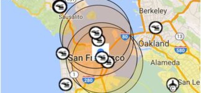
FAA Releases B4UFLY Smartphone App
Federal Aviation Administration (FAA) Administrator Michael Huerta today announced the public release of the B4UFLY mobile application following an initial beta testing period. B4UFLY is an easy-to-use smartphone app that
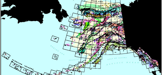
First Ever Digital Geologic Map of Alaska Published
ANCHORAGE, Alaska – A new digital geologic map of Alaska is being released today providing land users, managers and scientists geologic information for the evaluation of land use in relation to resource

HERE Unveils HD Live Map
January 5, 2016 – HERE, a leader in mapping and location technology, has unveiled HERE HD Live Map, the world’s most advanced cloud-based map asset commercially available for vehicles as of
