
Archive

Esri Canada to Open GIS Centres of Excellence at the University of New Brunswick and York University
Centres will promote collaborative and innovative use of geographic technology for research and learning across disciplines TORONTO – February 1, 2016 – Esri Canada, the leading provider of geographic information
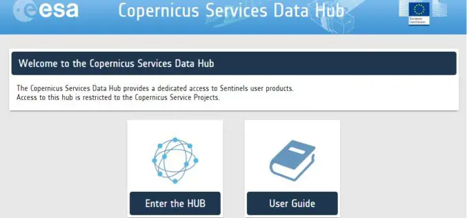
A New Sentinels Data Hub for the Copernicus Services
A new access point for the dissemination of the Sentinel products is in place for the Copernicus Service Project members: the Copernicus Services Data Hub. The Copernicus Services Data Hub initially
“Floodhack” Helps Mitigating Floods
On 16/17 January, the European Centre for Medium-Range Weather Forecasts (ECMWF) organized the first hackathon on a Global Flood Awareness System (GloFAS). More than 60 participants from research organizations, universities

Community Mapping to Educate on Landslides
Kuala Lumpur – A local community-based organisation on landslides and slope safety, SlopeWatch embarked on a journey to educate hillside citizens on signs of slope failures to better equip them in
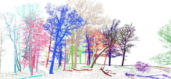
3D Forest – Forest LiDAR Data Processing Tool
Tool for point cloud data processing from forest environment acquired by terrestrial laser scanner (TLS) 3D Forest is an open-source software application for LiDAR data segmentation, visualization, and export of

3D Laser Mapping Continue to Lead the Way With Mobile Mapping
It’s hard to believe that Mobile Mapping Systems (MMS) have been on the market for over a decade. 3D Laser Mapping was one of the first companies to create a
