
Archive

ISRO Conducts 1st Satellite-based Warning system for Railways
According to recent news by The Indian Express, the first trial run for developing a satellite-based system to warn train drivers of unmanned railway crossings was conducted by ISRO scientists

Customize your GIS platform easily with Python!
As a professional GIS work platform, SuperGIS Desktop has a variety of functions for map data management, data editing and data analyzing. SuperGIS Desktop also supports diverse databases and services

Iran to Build Two Remote Sensing Satellites by 2025
Iran is planning to launch two national remote sensing and telecommunication satellites by 2025. Communications and Information Technology Minister Mahmoud Va’ezi said, “Indigenization of space technologies is the main focus
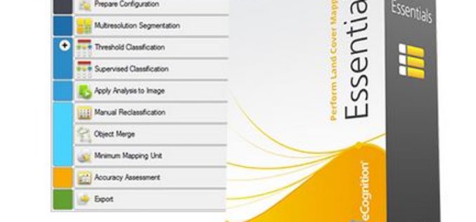
How to automatically update your Vector GIS Data using Trimble eCognition
Webinar: How to automatically update your Vector GIS Data using Trimble eCognition Tue, Feb 16, 2016 9:30 PM – 10:30 PM IST Show in My Time Zone Our GIS databases
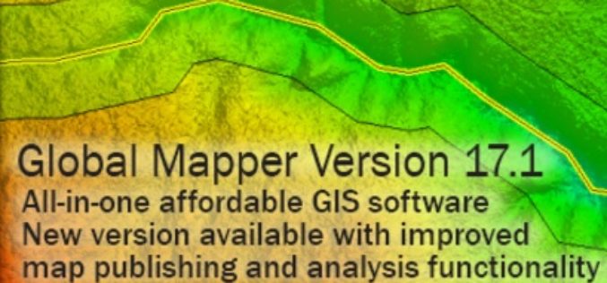
Global Mapper 17.1 Released with Improvements to Map Publishing and Analysis Tools
Hallowell, Maine – February 2, 2016 – Blue Marble Geographics (bluemarblegeo.com) is pleased to announce the availability of Global Mapper version 17.1. This intermediate upgrade to the version 17 release
Boundless Announces Support for Complex Weather Data
NetCDF Support in Most Recent Release of OpenGeo Suite Handles Multi-dimensional, OGC-Compliant Meteorological Data Analysis Washington, DC – February 2, 2016 – Boundless, the leading provider of open source geospatial

Ordnance Survey Encourages People to Use Up-To-Date Maps with Their Trade-In Scheme
Outdoors enthusiasts can build impressive collections of Ordnance Survey maps, but it often means they’re not using the most up-to-date maps to get outside and explore Britain. Up until 20 March,

Harris Corporation to Offer Fully Digital GPS III Payload
Highlights: Advances global asset navigation technology Delivers new digital reprogrammable capability to U.S. Air Force Combines legacy Exelis and Harris’ strengths in innovative digital payloads MELBOURNE, Fla.–(BUSINESS WIRE)–Harris Corporation (NYSE:HRS)
Woolpert Selected for Orthoimagery Collection in Florida
ST. AUGUSTINE, Fla. (Jan. 29, 2016) — Woolpert has been contracted to collect orthoimagery of St. Johns County, Fla., it was announced today. The six-inch resolution, multispectral digital imagery, collected

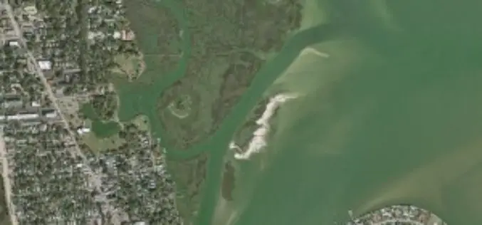
A New Method for Mapping River Properties Using Remote Sensing
A JRC-led article published in Remote Sensing last week presents a new method for mapping river properties using remote sensing. The new method provides a tool for monitoring and characterising the
