
Archive

CartoDB Webinar: Get started using CartoDB’s Mobile SDK
Webinar: Get started using CartoDB’s Mobile SDK Wednesday, June 29 @1PM EDT (10AM PST / 7PM CEST) Join this 45-minute session to learn how CartoDB’s Mobile SDK expands your data
ISRO to Geo-tag Assets Created Under MGNREGA
India – According to recent news, a Memorandum of Understanding was signed between the Rural Development Ministry and ISRO, Department of Space for geo-tagging the assets created under MGNREGA in
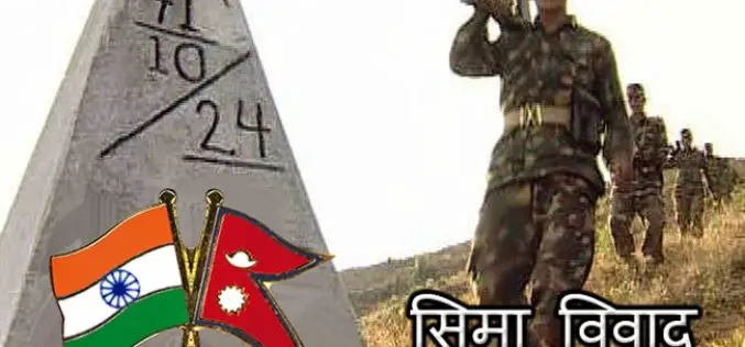
India-Nepal Border Pillars to be GPS-enabled
KATHMANDU: More than 8,000 pillars along the India-Nepal border will be linked to a Global Navigation Satellite System, allowing authorities for the first time to effectively manage the over 1,700-km-long

PCI Geomatics Webinar: Digital Elevation Models and Operational Mining Applications
Digital Elevation Models and Operational Mining Applications Case Study with NPA Satellite Mapping JUNE 29, 2016 | 10AM ET / 2PM GMT PCI Geomatics and CGG’s NPA Satellite Mapping team will
Earth Observation for Humanitarian Aid
Earth observation satellites fly at distances of up to several hundred kilometres from Earth and can provide detailed information that assists relief workers on the ground. Now, this technology will

3rd International Conference on Geographical Information Systems Theory, Applications and Management – GISTAM 2017
The GISTAM Conference (The 3rd International Conference on Geographical Information Systems Theory, Applications and Management) organized by INSTICC (Institute for Systems and Technologies of Information, Control and Communication) will take
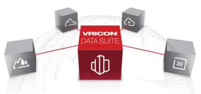
Vricon Launches Newest, Disruptive Geospatial Product: Digital Terrain Model
McLean, VA – Vricon unveils the newest product in the Vricon Data Suite: the 0.5m resolution Digital Terrain Model (DTM), a high-resolution bare earth elevation data layer. Vricon produces its

Uttar Pradesh Goes for GIS Mapping of Minor Irrigation Constructions
According to recent news by ToI, the Minister for Minor irrigation, Groundwater, Animal husbandry and Panchayati Raj Mr. Raj Kishore Singh of Uttar Pradesh has directed that GIS mapping of construction

Icaros Releases 4.2.2 of OneButton UAS Image Processing Software
FAIRFAX, Virginia, USA – Icaros Inc., a leading provider of aerial imaging software, is pleased to announce Release 4.2.2 of OneButton. The release contains new features and improvements as well as
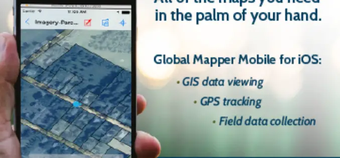
Global Mapper Mobile is Now Available for iOS
Blue Marble Geographics are pleased to announce the immediate availability of Global Mapper Mobile for iOS, a field-optimized version of the desktop software. Global Mapper Mobile offers powerful GIS data
