
Archive

What’s New in ArcGIS Online June Release
The June update of ArcGIS Online features improvements to item pages, updated content, and more options for administrators. Improved Item Pages Check out the redesign. It includes better work flows,
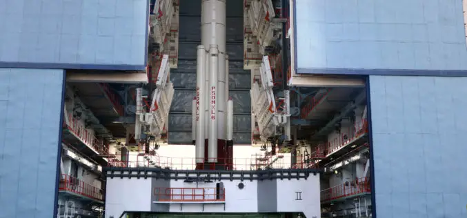
Isro to Launch Cartosat-2 Series Satellite Mission : Scheduled on June 22, 2016
India’s Polar Satellite Launch Vehicle, in its thirty sixth flight (PSLV-C34), will launch the 727.5 kg Cartosat-2 series satellite for earth observation and 19 co-passenger satellites together weighing about 560 kg
Passive and Active Remote Sensing Technology Market Forecast Report – 2015 – 2022
Research Corridor recently added new report titled “Passive and Active Remote Sensing Technology Market – Global Trends, Market Share, Industry Size, Growth, Opportunities, and Market Forecast – 2015 – 2022”

Russia and Italy Agree to Create Remote Sensing Satellite Constellation
MOSCOW (Sputnik) – Russia’s space agency Roscosmos and the Italian Space Agency (ASI) will sign an agreement to create a joint satellite constellation for remote earth sensing later in the day, Roscosmos head

Govt May Review Provisions of Geospatial Bill: India
New Delhi, (PTI) Government may review some of the provisions of a draft bill that proposes jail term of seven years and a fine up to Rs 100 crore if

Kenya to Launch Aerial Survey of Minerals
According to recent news by the Standard Digital, Kenya will be launching an aerial survey to map out its minerals following a budgetary allocation of Sh 3 billion in the 2016-2017
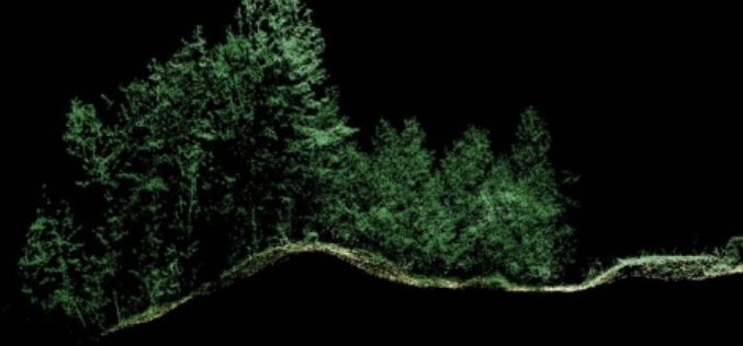
Leica Geosystems Expands LiDAR Capabilities in ALS80 Airborne Sensor
(Heerbrugg,Switzerland/Anaheim, California, USA, 16 June 2016) – Leica Geosystems, global leader of measurement and reality capture technologies, today announced it has expanded functionality of the popular ALS80 airborne sensor that
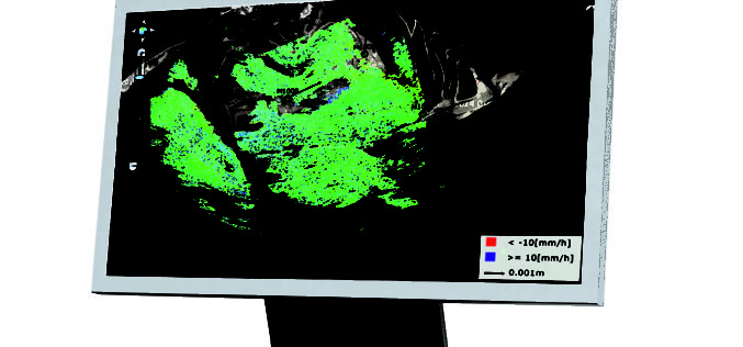
Leica Geosystems Establishes Georadar Portfolio
(HEERBRUGG, SWITZERLAND, 15 June 2016) – Leica Geosystems, global leader of measurement and reality capture technologies, today announced the establishment of a georadar portfolio with three releases to provide applications

Indonesia Using Geoportal to Monitor the Condition of Public Infrastructure
The Ministry of Public Works and Public Housing’s Institute of Road Engineering, Agency for Research and Development (Pusjatan) has unveiled a new smart mapping portal called Geoportal Pusjatan, which was

concept3D Announces Launch of atlas3D Mapping and Interactive Media Platform
Convention centers, commercial real estate, health centers and other facilities tap atlas3D to engage visitors and profile their spaces online The concept3D team is excited to announce the launch of atlas3D, a powerful
