
Archive

Phase One Industrial Innovates Four Band Aerial Imaging
Enables Automated Four Band Imaging to 100MP for Specialized Applications COPENHAGEN, September 6, 2016 ― Phase One Industrial has today introduced the Phase One 4-Band Solution. The solution incorporates an

NESAC Technology to Monitor Progress of 700 NEC Projects: India
Umiam (Meghalaya), Sep 5 (PTI) – Around 700 government projects funded by the North Eastern Council, which are facing delay and cost over-run in eight states of the north east
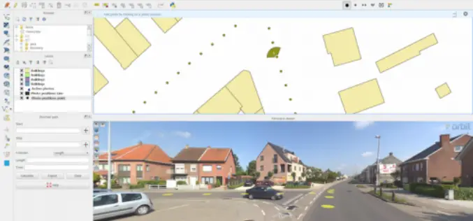
Orbit GT Launches QGIS Plugin for Mobile Mapping
Orbit GeoSpatial Technologies is pleased to announce the launch of the Mobile Mapping plugin for QGIS. “We’re pleased to announce that from today, every QGIS user now has access to
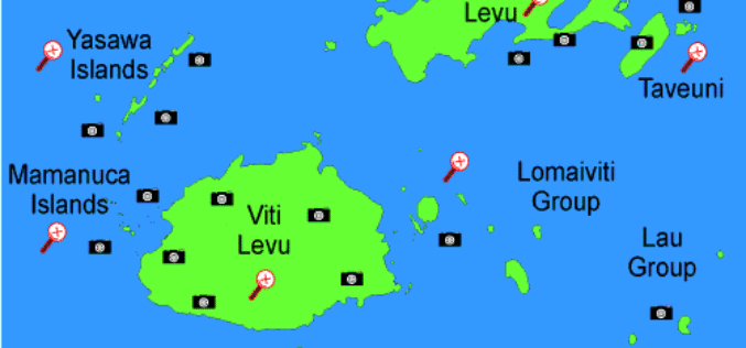
Fiji to Adopt GIS for Early Detection of Vector Borne Diseases
According to recent news published by the Fiji Sun Online, Fiji Centre for Communicable Diseases Control has conducted a two-week training programme on early detection of vector-borne diseases. Training was conducted by
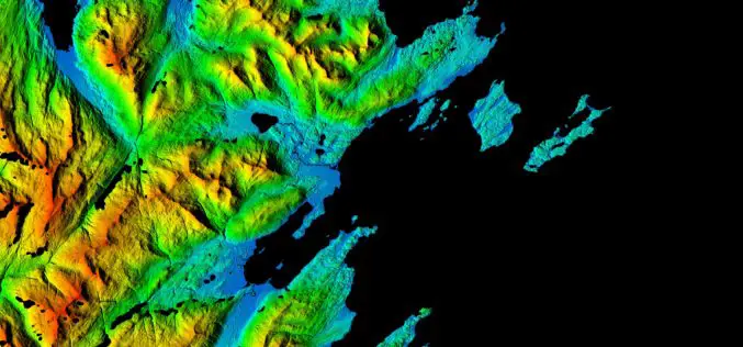
NGA, NSF release 3-D Elevation Models of Alaska for White House Arctic Initiative
SPRINGFIELD, Va. — The National Geospatial-Intelligence Agency and the National Science Foundation publicly released new 3-D topographic maps of Alaska Sept. 1 in support of a White House Arctic initiative
Carrying Maps Everywhere by Using Cache Generator
With mobile devices have gained popularity these days, there are also more and more people using maps on their mobile devices. Therefore, it is an important task for map providers
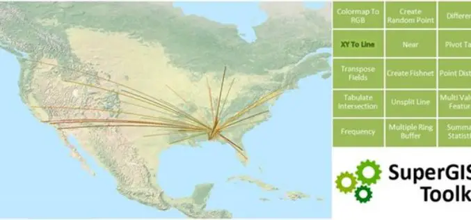
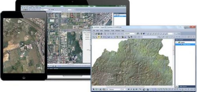
Accelerating Your Geospatial Work with SuperGIS Toolkit 10
Currently, spatial information is widely used in many industries, and the demand for analyzing and processing spatial data is also booming. To meet needs from different industries and users, Supergeo
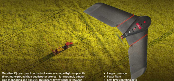
senseFly Ups The Agricultural Ante With Launch Of High Precision, Large Coverage eBee SQ Drone
This new drone is built for the Parrot Sequoia multispectral camera and can cover up to 10 times more ground than small quadcopter systems Cheseaux, Switzerland, August 31 — Swiss

Modernizing Commercial Remote Sensing Regulation
Space News recently published my op-ed on the subject of regulatory reform for the U.S. commercial remote sensing industry. It lays out the case for why it is time for a major

Italian Water Supplier, APM group, Further Selects SuperGIS Geospatial Solution
Supergeo, the global GIS software and solution provider, is pleased to announce that the Italian local water supplier, APM group, further selects SuperGIS products as its geospatial solution. Located in
