
Archive

Business
DigitalGlobe Goes All-In on AWS
Global leader in commercial high-resolution satellite imagery selects AWS to support future growth and bring an advanced machine learning framework to geospatial data analysis SEATTLE–(BUSINESS WIRE)–Nov. 30, 2017– Today, Amazon Web
GIS
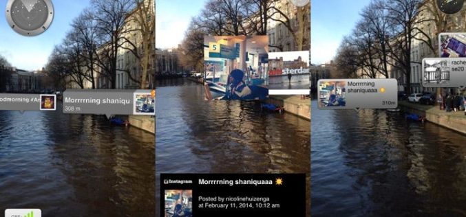
OGC Calls for Sponsors for Augmented Reality Pilot Project
Joint OGC and W3C Pilot project will propose standards to unite Augmented Reality, Web, and Geospatial technologies November 29, 2017 – The Open Geospatial Consortium (OGC), and the World Wide Web
Business
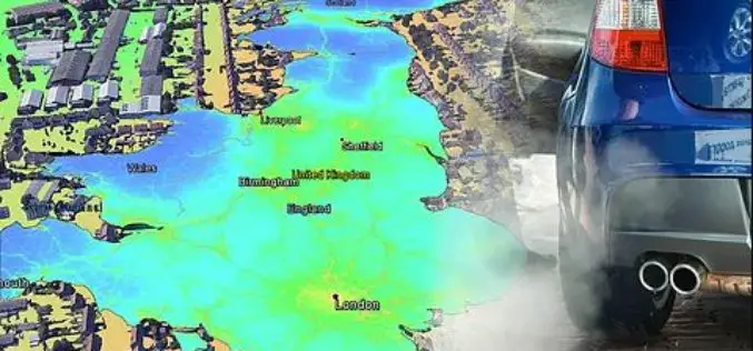
EarthSense Release New Nationwide Map of Air Pollution. MappAir
November 29, 2017 – EarthSense Systems has published MappAir® – the first ever high resolution nationwide map of air pollution. Combining data from satellites and its own air quality monitoring sensors
