
Archive

AGI & NRSC Sign MoU for Promoting National Development Through the Adoption of Geospatial Technologies
Hyderabad, India, December 21, 2017: Association of Geospatial Industries (AGI), a not-for-profit industry association representing the geospatial industry of India signed a Memorandum of Understanding (MoU) with the National Remote
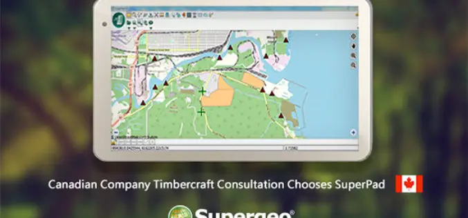
Canadian Company Timbercraft Consultation Chooses SuperPad
The global GIS software provider, Supergeo Technologies Inc., is excited to announce that the Canadian consulting firm Timbercraft Consultation Inc. selects SuperPad to record spatial data. Specialized in geographic data
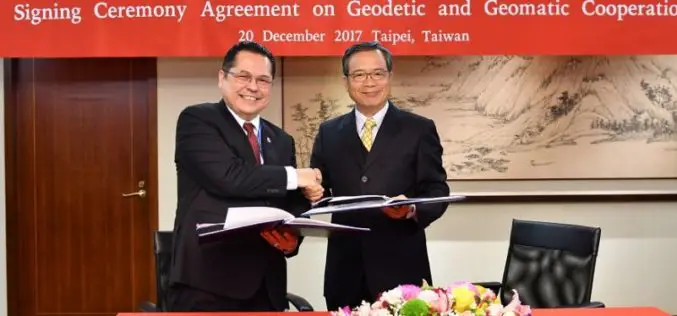
Taiwan and Indonesia Signed Pact on Cooperation in Geodesy and Geomatics
According to recent news reported by the Taiwan News, Taiwan and Indonesia have signed a pact on Dec. 20 to foster cooperation in geodesy and geomatics, the scientific fields concerned with

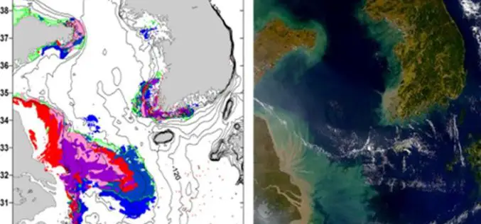
Satellite Data for Spatial Mapping of Marine Fisheries
Kochi, India – According to recent news reported by The Hindu, The Central Marine Fisheries Research Institute (CMFRI) will make use of remote sensing satellite data for the spatial mapping of
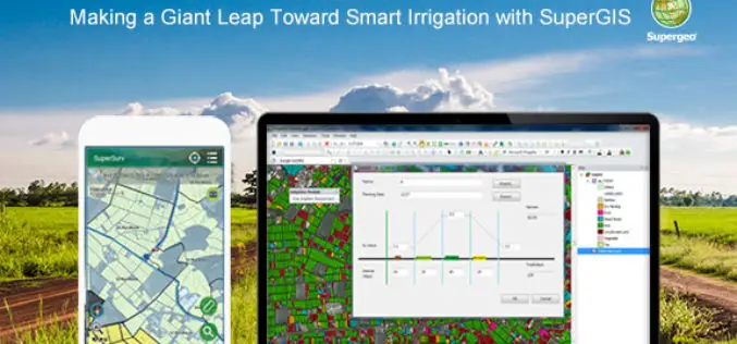
Making a Giant Leap Toward Smart Irrigation with SuperGIS
Geographic Information System (GIS) is becoming extremely popular nowadays for its capability of solving problems in the domains like cadastre management, network analysis, location selection, spatial statistics, etc. to name
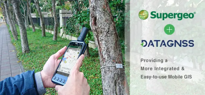
Supergeo Teams up with DataGNSS to Provide a Cost-effective RTK Solution
Supergeo is delighted to announce that the directors of DataGNSS, a professional GNSS RTK device manufacturer, have visited Supergeo’s Taipei Headquarters at the beginning of December 2017. In the meeting,

UrtheCast and SIIS Sign Agreement for the Global Distribution of Their Respective Portfolios
Madrid, Spain, 21, December, 2017 – UrtheCast Corp. and its subsidiary, the Earth Observation company Deimos Imaging, today announced the signing of an agreement with SI Imaging Services (“SIIS”), a
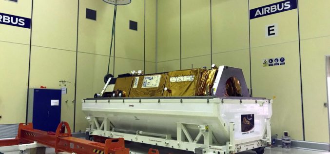
Airbus Delivered GOCI-II Instrument to the Korean Space Agency
Toulouse/Daejeon, 20/12/2017 – After four months at the Korean Aerospace Research Institute (KARI) test facilities in Daejeon, South Korea, during which intensive testing was performed by a joint team of KARI
Blue Marble Geographics Adds Chinese Reseller to its Worldwide Network of Partners
Hallowell, Maine – December 19, 2017 – Blue Marble Geographics (bluemarblegeo.com) is pleased to announce that Beijing E-Carto Technologies Co., Ltd. has joined the growing list of partner companies reselling and
PAZ Satellite Starts its Journey to Space
Madrid, December 19, 2017 – Loading and transport of the Spanish Earth observation satellite, PAZ, is underway. Airbus engineers in Madrid are installing the 1,400 kg satellite into the container that will
