
Archive
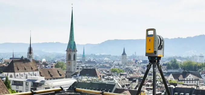
Trimble X7 and Perspective 3D Scanning Solution Garners Three International Design Awards
Solution’s Complete and Simplified Design by Global Team is Lauded by Judges Trimble (NASDAQ: TRMB) announced today that the Trimble® X7 and Perspective 3D Scanning Solution has received three international
RMSI Partners With Enzen UK to Support Scotia Gas Network (SGN), UK for GIS Application Support and Maintenance
RMSI, a global leader in geospatial and engineering solutions, has been awarded with a GIS application support and maintenance project for Scotia Gas Network (SGN), UK’s most innovative gas distribution

Technology Connecting Farmers to a Friend at High Heavens – A Talk with Ankur Omar, Founder of Farmonaut
GIS Resources had a questionnaire with Ankur Omar, Founder of Farmonaut. He has shared some interesting insights about Farmonaut.
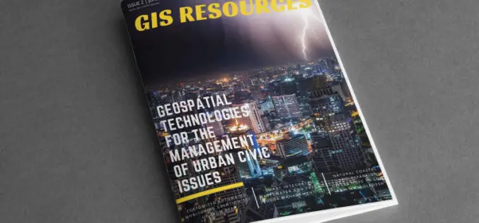
GIS Resources Magazine (Issue 2 | June 2021): Geospatial Technologies for the Management of Urban Civic Issues
GIS Resources is pleased to announce the release of its 2nd edition (June 2021) of the print and digital magazine. The edition titled “Geospatial Technologies for the Management of Urban Civic
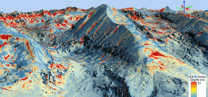
Airborne Snow Observatories, Inc. Takes Delivery of the All-New Cutting-Edge RIEGL VQ-1560 II-S LiDAR System
Airborne Snow Observatories, Inc. has just taken delivery of one of the first in North America cutting-edge RIEGL VQ-1560 II-S airborne laser scanners, just as the ASO program at NASA

How GIS Can Impact Major Console Releases?
The video game industry is worth more than any other entertainment history. It is worth more than television, more than the film industry and more than the music industry. People
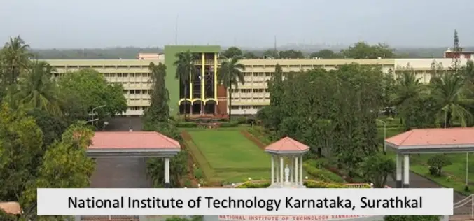
NIT Karnataka is Offering Free Course on Machine and Deep Learning for Remote Sensing Applications
NIT Karnataka is Offering is offering two weeks online summer school on Machine and Deep Learning for Remote Sensing Applications.
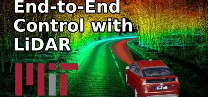
How MIT using LiDAR and ML for More Efficient Self-driving Car?
A LiDAR (Light Detection and Ranging) system beams light out and then precisely monitors the timing of reflections to map and track objects within its detection range. A LiDAR instrument principally
SIIS and UP42 Agreement Makes KOMPSAT Satellite Imagery Available on the Marketplace
SI Imaging Services (SIIS) of Daejeon, South Korea and UP42, have signed an agreement to make imagery from the KOMPSAT satellites available on the UP42 marketplace and developer platform. The

USGS Developed High-Resolution Imagery of Coastal Wetlands to Identify Vulnerable Marshes across the US
Scientist have used a combination of remote sensing and satellite technologies to identify vulnerable marshes across the US.
