
Archive
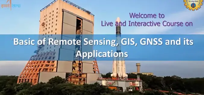
SWAYAM’s “Basics of Remote Sensing, GIS, and GNSS Technology” Course is Now Accepting Enrollments
Basics of Remote Sensing GIS & GNSS and its Applications
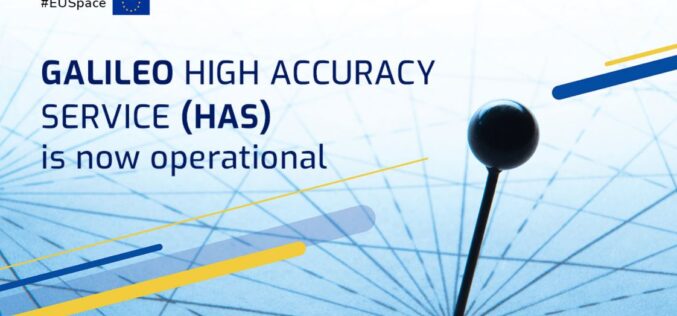
Galileo High Accuracy Service to Deliver 20 cm Horizontal Accuracy
Galileo, the Global Navigation Satellite System (GNSS) of the European Union, starts providing it’s High Accuracy Service. Galileo is now the world’s first Global Navigation Satellite System (GNSS) to provide
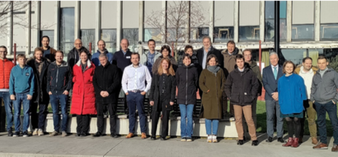
New Horizon Europe Project ‘EvoLand’ Sets off to Develop New Prototype Services for the Copernicus Land Monitoring Service
A consortium under the lead of VITO officially launched the new Horizon Europe project EvoLand (Evolution of the Copernicus Land Service portfolio) in Leuven (Belgium) on the 17th and 18th of

North West Tech Firm Secures European Space Agency Backing to Protect UK Utilities
MGISS, one of the UK’s leading geospatial technology companies, has launched a new project, part-funded by the European Space Agency (ESA), to help minimise nationwide disruptions to gas and water supply. The project, Interruption Prevention Alert Service (IPAS), will use
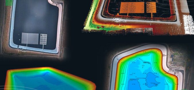
TOPODRONE Synchronized LiDAR and Bathymetric Surveying Methods to Study a Floating Solar Farm in Israel
TOPODRONE, a Swiss based designer and manufacturer of high-precision surveying equipment, has synchronized airborne photogrammetry, and LiDAR and bathymetric surveying methods which was used to study a floating solar farm.
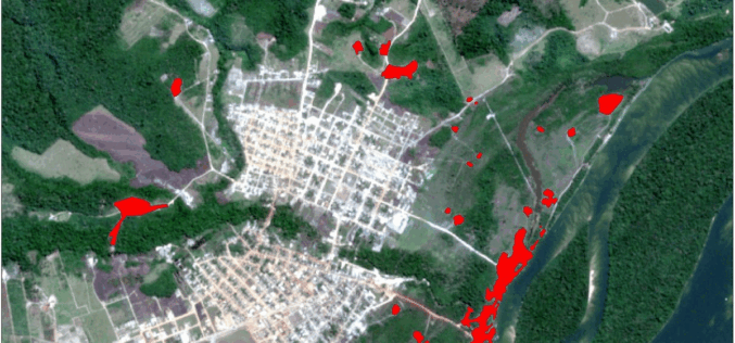
Analyzing Mining Influence on Brazilian Amazon Vegetation
The application of GIS and remote sensing in environmental protection in
analyzing mining influence on Brazilian Amazon vegetation.
