
Archive
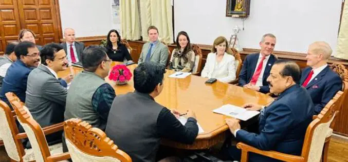
India and US to Enhance Earth Understanding with NISAR Satellite Launch in Early 2024
In a landmark collaboration, India and the United States are set to launch NISAR, a joint microwave remote sensing satellite for Earth observation, in the first quarter of next year,

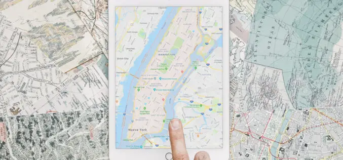
Which Cloud GIS Software to Choose?
The best cloud platform should be chosen for GIS projects because it will have a big impact on their success. For GIS projects, cloud computing offers a variety of benefits,
Trimble Support for India’s Commitment to the UAV Industry
Trimble Contributes Inertial Navigation Solutions to the Indian Institute of Technology in Kanpur Supporting the Country’s Commitment to Becoming a Leader in the UAV Industry Students in India to learn
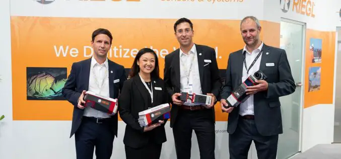
New RIEGL Laser Scanning Solutions for UAV-based Data Acquisition
With their latest developments, RIEGL once again underlines its pioneering role as a provider of high-performance LiDAR sensors and systems for integration with UAS. The ongoing trend in the UAS
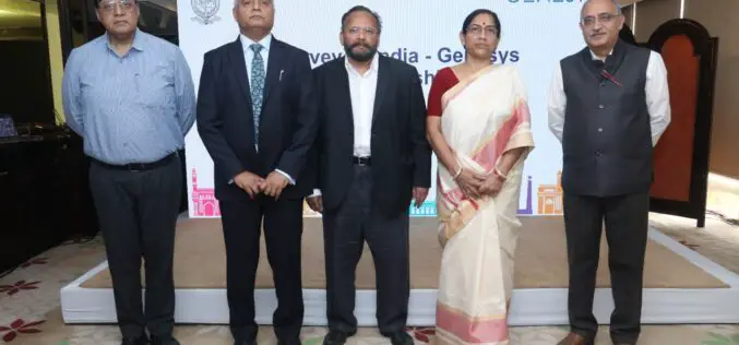
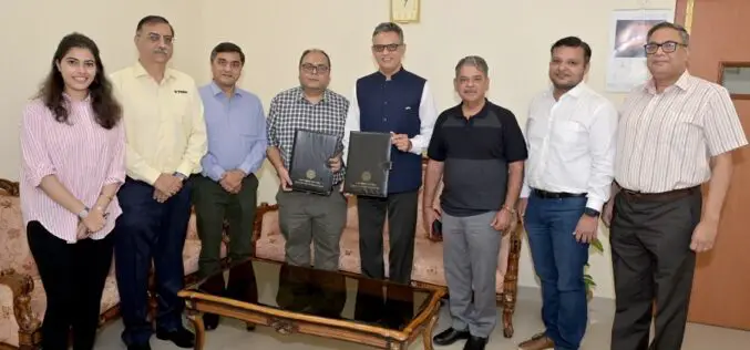
Collaboration Between Survey of India and Genesys for Advanced 3D Digital Twin-Mapping Initiative in India
Genesys International, a domestic mapping firm, has entered into a partnership with Survey of India to harness its capabilities in creating 3D digital twins for significant towns and cities across
How to Open a Geospatial Company?
Are you a geospatial enthusiast looking to turn your passion into profit by starting a successful business? Starting and running any company is an ambitious endeavor that often comes with
Esri Integrates with Microsoft Fabric to Deliver Leading Spatial Analytics Capabilities
Esri’s Interactive Mapping and Data Exploration Delivers 140 Spatial Analytics Tools and Functions into the Fabric User Experience To meet the growing demand for spatial analytics, Esri is extending its
Esri and National Geographic Society Launch National Geographic MapMaker
Newly Updated Online Interactive Mapping Tool Empowers Students, Teachers, and Individuals Everywhere to Explore the World through Geography By learning about mapping skills and geography, students, teachers, and others can

Transforming Water Quality: Innovative Home Filtration Solutions
Clean, purified water is a necessity. Yet, with increasing pollution levels, pure water is in severe shortage in some areas. However, innovative home filtration solutions are revolutionizing the way we
Benefits of Geospatial Data in Driving Analytics
Geospatial data has become an indispensable asset in today’s increasingly data-centric era, providing businesses, governments, and researchers alike with invaluable resources for making strategic decisions and driving transformation across multiple
