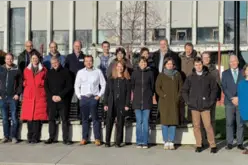
Collaboration Between Survey of India and Genesys for Advanced 3D Digital Twin-Mapping Initiative in India
Genesys International, a domestic mapping firm, has entered into a partnership with Survey of India to harness its capabilities in creating 3D digital twins for significant towns and cities across the nation.
Through this collaboration, Genesys International will tap into the technological and data assets accumulated by Survey of India since its inception in 1767.
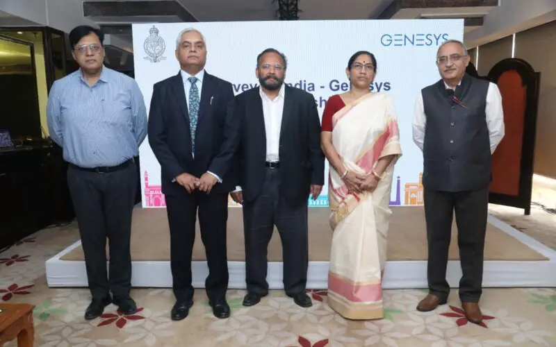
Hitesh Kumar Makwana, the Surveyor General of India, highlighted that this marks the inaugural Memorandum of Understanding (MoU) between the department and a private enterprise for the advancement of geospatial content. He also encouraged other entities to join hands in leveraging the resources available within the department.
Genesys has engineered proprietary technology for crafting three-dimensional (3D) renditions of maps, showcasing buildings alongside a two-dimensional (2D) map layer.
In line with National Geospatial Policy 2022, Survey of India (SoI) has commenced collaboration with the industry beginning with Genesys International to deliver geospatial content which will be created with reference to the National Geodetic Framework. SoI is willing to collaborate with industry partners for utilising the modern surveying techniques and leveraging the expertise of the Indian private sector.
Surveyor General of India Hitesh Kumar Makwana
Sajid Malik, Chairman and Managing Director of Genesys International, noted that partnering with SoI will enable the company to conserve and capitalize on SoI’s data, renowned for its high precision.
“We will utilize this data to develop digital twins of cities in India. Our collaborations extend to multiple government departments such as urban town planners and telecom companies. The Digital Twin maps of cities aid them in strategic planning for their operations.
In accordance with the 2022 National Geospatial Policy of India, which underscores self-sufficiency in the production and utilization of geospatial data, the collaboration seeks to generate digital replicas of significant cities and towns.
Recently Union Minister Dr. Jitendra Singh inaugurated the nationwide CORS network operated by Survey of India. The cutting-edge initiative, known as the “Continuously Operating Reference Stations” (CORS) Network, is set to revolutionize the country’s surveying and mapping capabilities.
The CORS Network consists of state-of-the-art Continuously Operating Reference Stations strategically positioned across the country. These stations are equipped with cutting-edge technology, including Global Navigation Satellite System (GNSS) receivers and other sensors, enabling them to continuously collect precise positioning data. This real-time data will be invaluable for applications such as land surveying, infrastructure planning, and natural resource management.
Source: PTI