
Archive
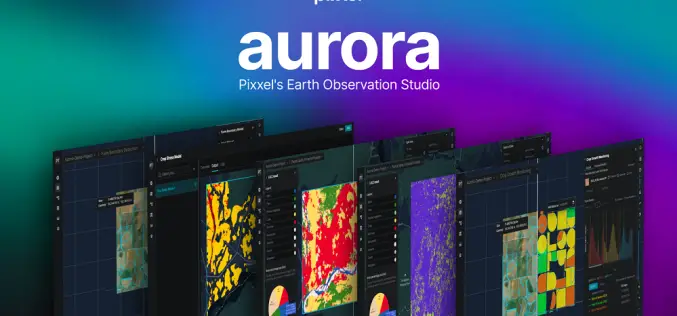
Pixxel Launches “Aurora” Designed to Simplify Satellite Data Analysis
Pixxel, a Bengaluru-based space tech startup, has launched “Aurora,” an advanced Earth Observation (EO) Studio designed to revolutionize satellite data analysis. This platform simplifies the traditionally complex process of remote
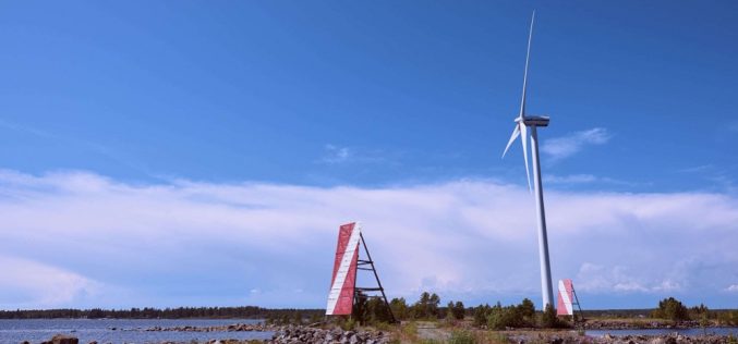
Azerbaijan Exploring Offshore Wind Potential with LiDAR Technology
Azerbaijan has significantly advanced its renewable energy initiatives with the launch of a LiDAR (Light Detection and Ranging) project designed to measure offshore wind potential in the Caspian Sea. This
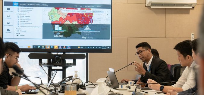
UNDP Unveils AI-Powered Mapping Tool to Combat Poverty in Cambodia
The United Nations Development Programme (UNDP) has introduced the “Cambodia Poverty/Vulnerability Mapping Tool,” an innovative AI-powered platform designed to address socio-economic vulnerabilities across Cambodia. This tool represents a significant advancement
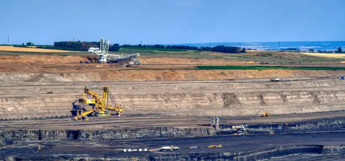
Advancements in Mining Technology: Efficiency and Sustainability
The mining industry has recently changed tremendously and is sometimes called the backbone of economic development. Many advancements in technology have brought about several benefits that enhance efficiency, lessen environmental
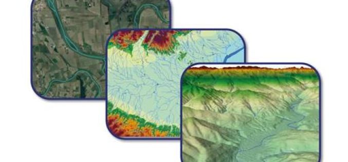
Upgrade of EU-Hydro for the Copernicus Land Monitoring Service (CLMS)
The EU-Hydro Upgrade project officially started at the beginning of July. The European Environment Agency (EEA) and the contracted international consortium, consisting of the lead GAF AG, an e-GEOS (Telespazio/ASI) company, and

Soil Quality Analysis for Smart and Sustainable Farming
In the picturesque landscapes of Europe, a silent revolution is taking place in the fields of countless farms. At the heart of this transformation is the Soil Quality Analysis Tool
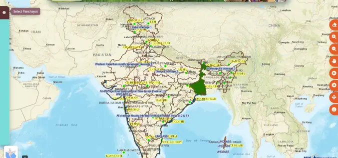
Revolutionizing Rural India: Geospatial Innovations with Gram Manchitra
The Ministry of Panchayati Raj in India has introduced several digital initiatives to support spatial planning and improve transparency in local village councils, known as Gram Panchayats. One key initiative
