PPT-Aerial Imagery By David Davis, USDA Farm Service Agency, Aerial Photography Field Office
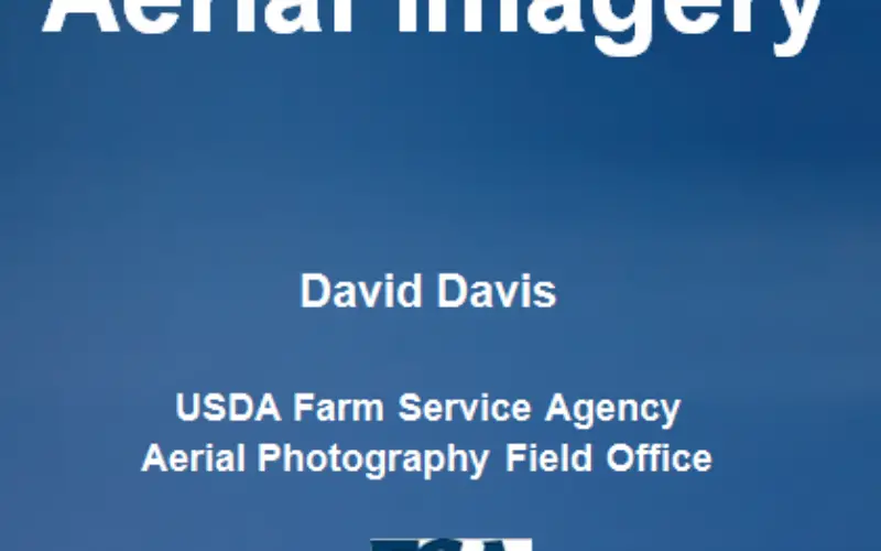
This PPt gives an historical and present overview of how Aerial Photogrammery has changed.
Written by: David Davis, USDA Farm Service Agency, Aerial Photography Field Office
Download PPT-Aerial Imagery By David Davis
Categories:
E-books