Cadastral data is a combination of real estate registry and metes-and-bounds, including attributes like ownership, precise location, area, and land value. It is an important and fundamental data source in disputes and lawsuits between landowners. GIS, as a modern map platform, is a useful system to display the cadastral data. People can browse, query, and even edit them to update the latest changes efficiently.
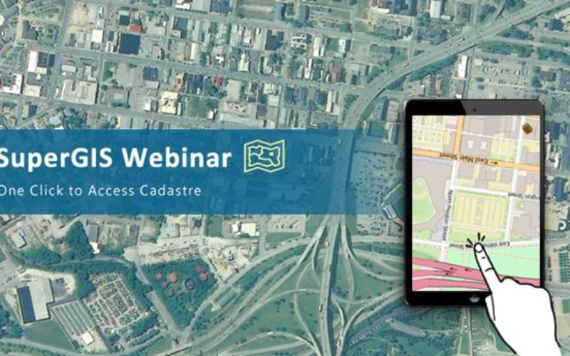
SuperGIS Server can be used to build an online cadastral system, where the public can browse and query the data, and the workers can validate or edit the cadastral data online. What’s even better is that this online cadastral platform can be accessed by most of the browsers, even on mobile devices! Therefore, within one click, you’ll be able to access cadastral data anywhere. Furthermore, SuperGIS Server also supports multiple users co-editing the cadastral data. A scenario test showed that SuperGIS Server allows 300 users to edit the same layer in the same service repeatedly within 3 minutes, and the averaged response time is less than 5 seconds.
With the features provided by SuperGIS Server, many GIS applications can be completed. Come and join SuperGIS webinar on July 6th @ 10:00 AM (GMT+2), where you can learn how to create an online cadastral querying map that can be accessed everywhere with the latest SuperGIS Server 3.3.
Join us on July 6!
http://www.supergeotek.com/support_ComingWebinars.aspx?Type=Upcoming&ID=1535
Learn more about SuperGIS Server:
http://www.supergeotek.com/ProductPage_SGS3.aspx